
![]()
|
THUNDERSTORM T0011
This was the first substantial overhead thunderstorm for 1998 for
Macclesfield, and it was
dramatic in it’s fury. It was fairly large, close-by, and we had clear displays of
blue lightning in the night-sky after the clock struck midnight, one of which gave
a thunder loud enough set car alarms off and buffet the windows.
As midnight was drawing in, I hung out of the window to smell the
warm and humid spring air of the night, and I thought that it was a perfect
atmosphere for a night-time storm (traditionally). As I thought that, a faint distant flash
occurred in the
corner of my left eye, so I prepared the camera. As it drew in closer, I started
to hear some distant thunder with the lightning flashes, which meant it was
within a good 15-20 mile thunder-audibility range. I started to film
pointing towards the west based on the flashes I saw. After a few more
discharges the lightning was starting to
get brighter and closer and it started raining. It was then I realised the
storm must have been approaching from the southwest.
I then told myself,
based on errors I made during 1997, that if an overhead storm did eventually
come today then aim the camera up at a higher angle into the sky and forget
about the horizon (for CGs), so I could to
capture any overhead I-C or C-C lightning. So I aimed the camera upward and
it was about to pay off. Eventually the rain fell harder as the storm passed
directly overhead, giving a total of four excellent close-up displays of
C-C, I-C and a few other distant C-Cs and flashes. I wouldn’t have got these
brilliant new shots if I hadn’t have aimed the camera upwards.
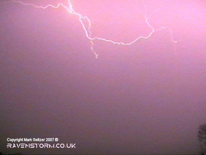
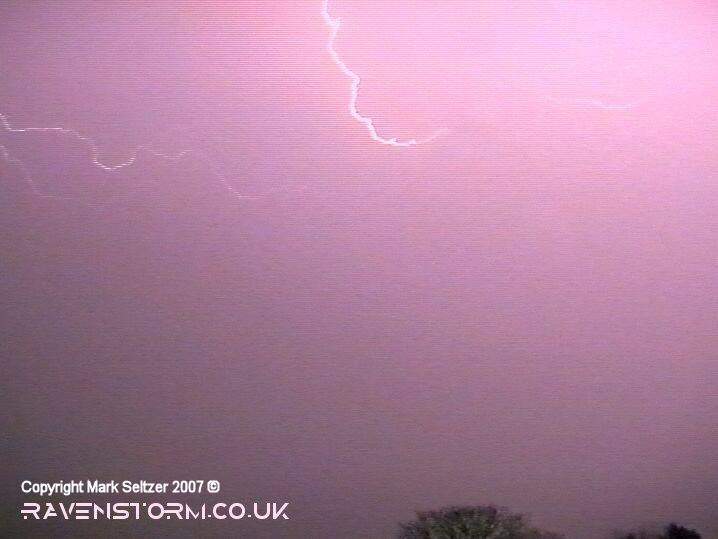
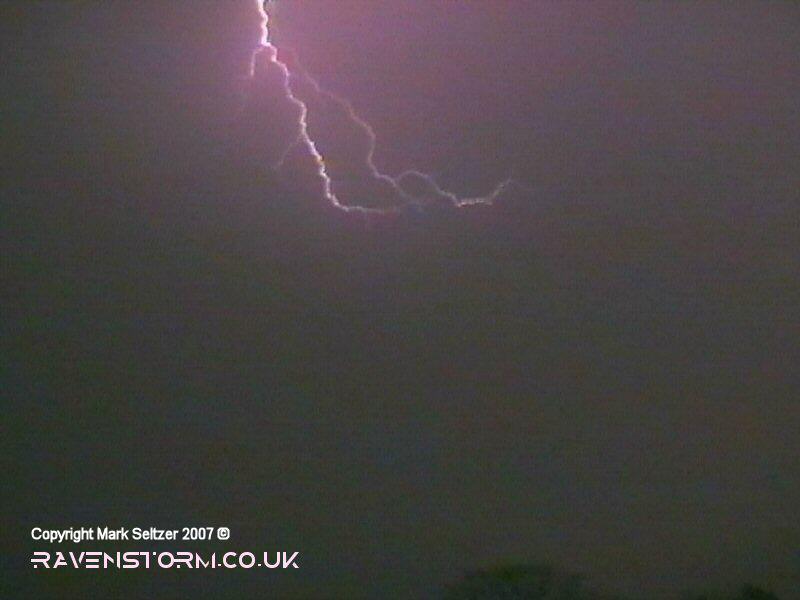
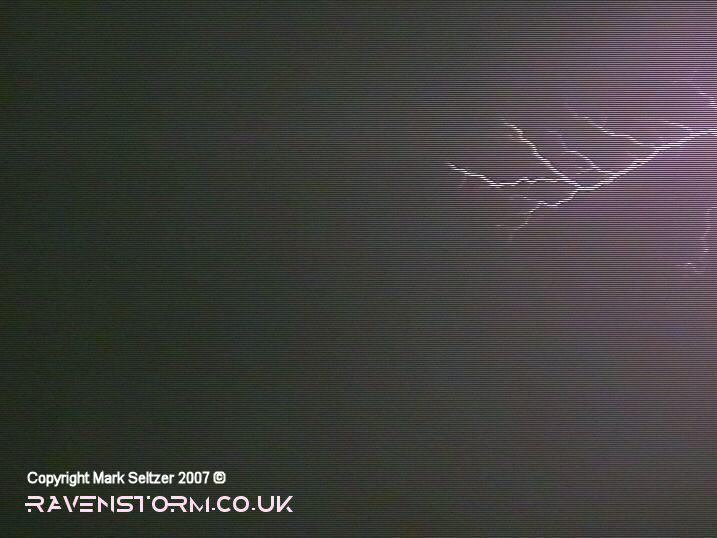
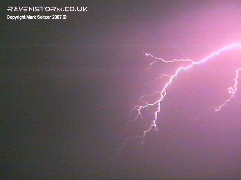
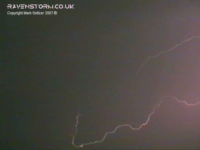
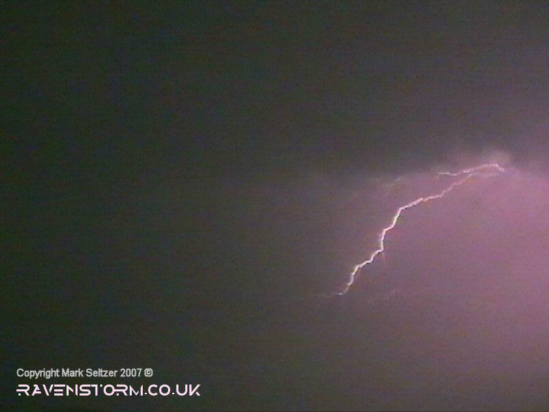
The first C-C took me completely by surprise. I hadn't realised this particular cell was directly overhead (must have matured whilst arriving) until I was blinded by two incredibly bright C-Cs streaks across the sky. I had to blink afterwards it was that bright as I could still see the outline of the lightning burnt into my retinas, and if that wasn’t enough I was quickly deafened as well. Precisely eight seconds after the discharge the most phenomenal thunder I’ve ever heard (still to this date in 2020) crashed across the landscape setting off car alarms and buffeting the windows (more about this later). The following close-by C-Cs weren’t as energetic as the initial. This I can justify because the second C-C was exactly the same distance away judging off the thunder, maybe a fifth of a mile closer, and the thunder wasn’t even half as loud. This shows how lightning can vary in electrical properties depending on the magnitude and environmental conditions of the discharge. Most of the remaining lightning discharges were seen as C-Cs with branches and feelers, somewhat extremely photogenic and beautiful.
Here are some detailed statistics of the initial loud thunder at the
beginning. It
took 8 seconds for the first thunder-waves to travel from the lightning to
where I was, which was equivalent to approximately 1.6 miles away (2.67km).
This is a fair distance for a thunder of this magnitude. Unusually high-amp lightning,
possibly C-C in conjunction with an unseen P-F (positive flash) occurrence,
was most likely the cause of this. The thunder was about 30 seconds
in duration suggesting that it may have been of upper-anvil origins with
a long channel.
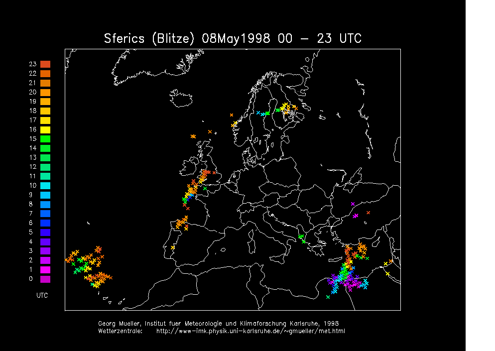
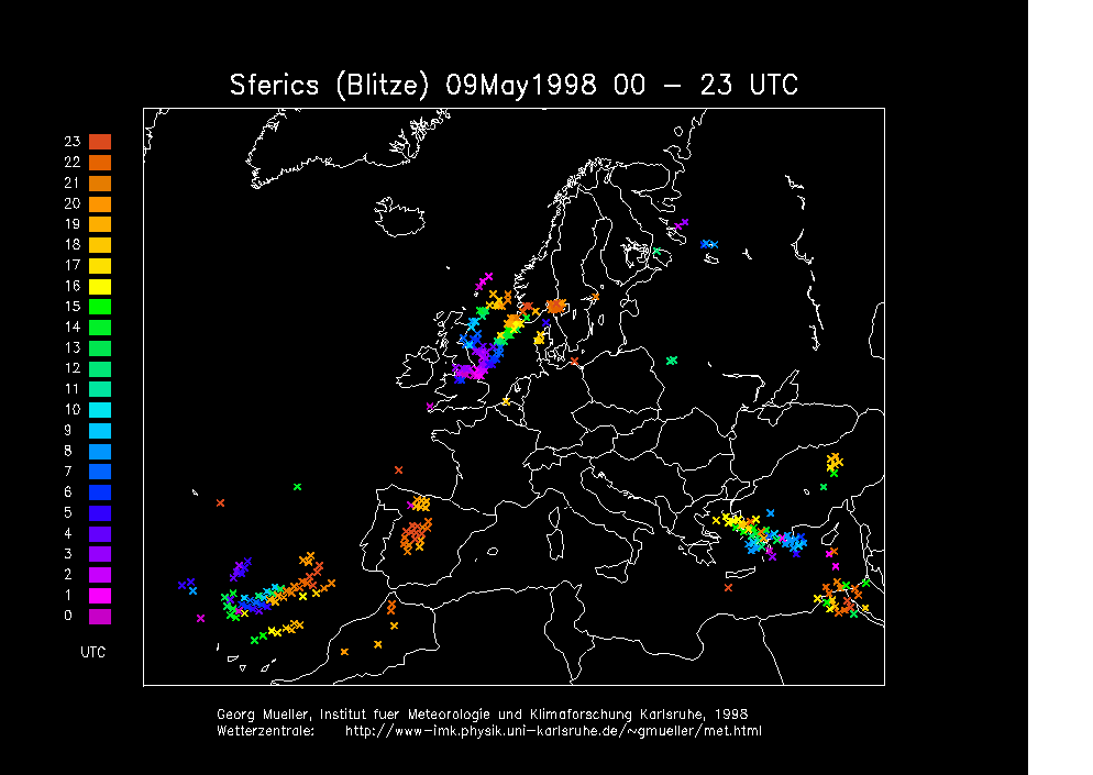
SFERICS (Credits)
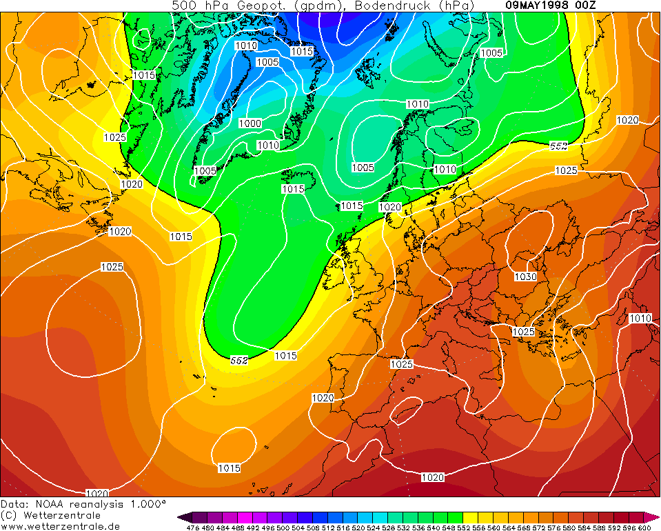
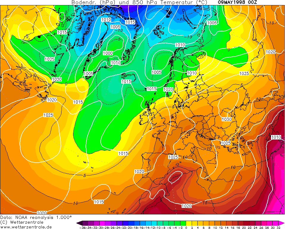
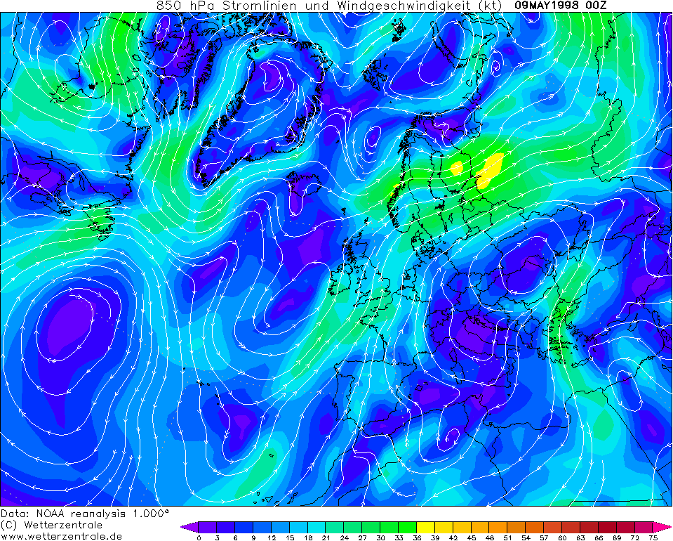
CHARTS
(Credits)
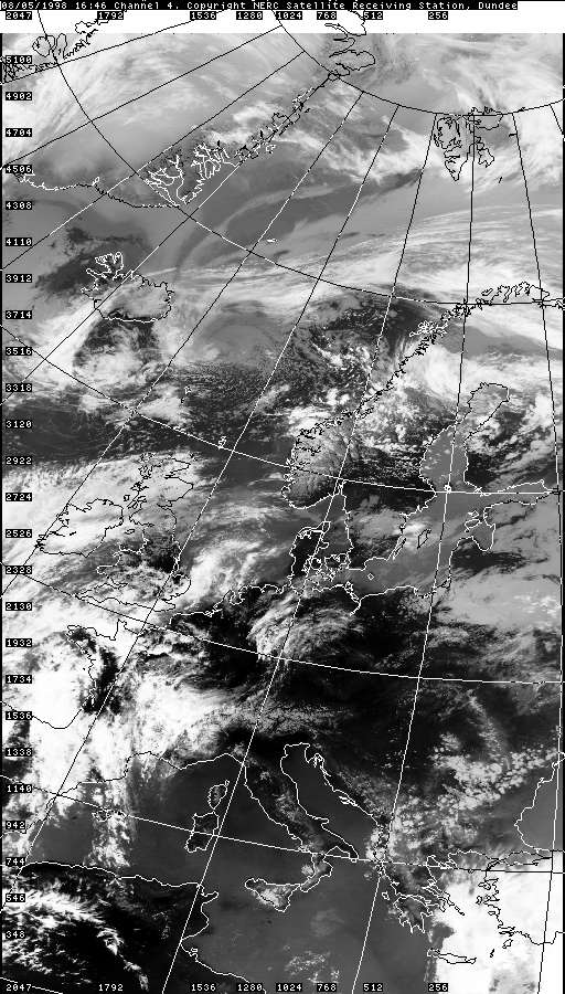
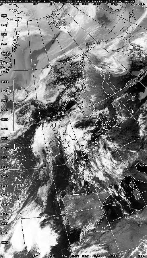
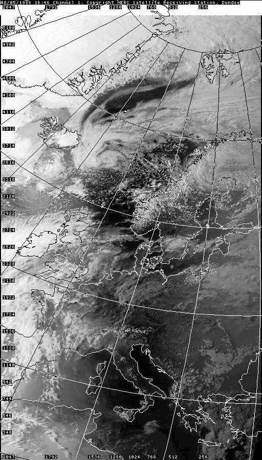
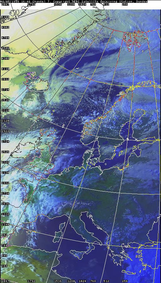
SATELLITE IMAGES (Credits)
|
© Mark Seltzer
www.electricsky.co.uk