
![]()
|
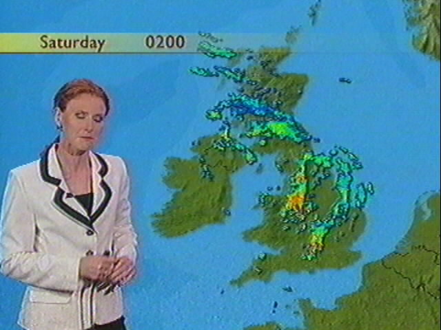
THUNDERSTORM T0026
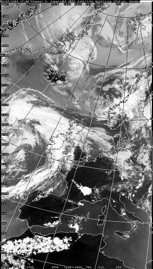
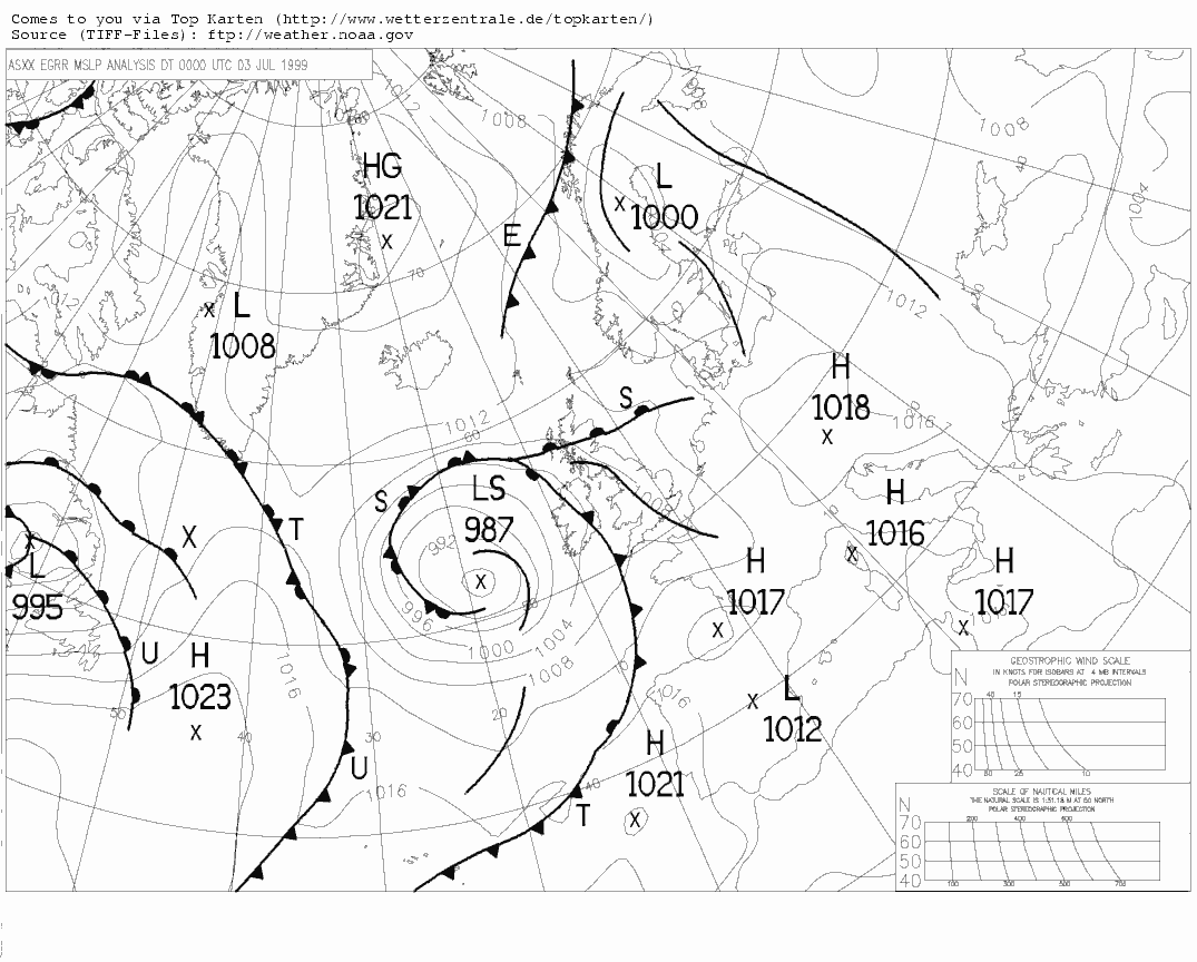
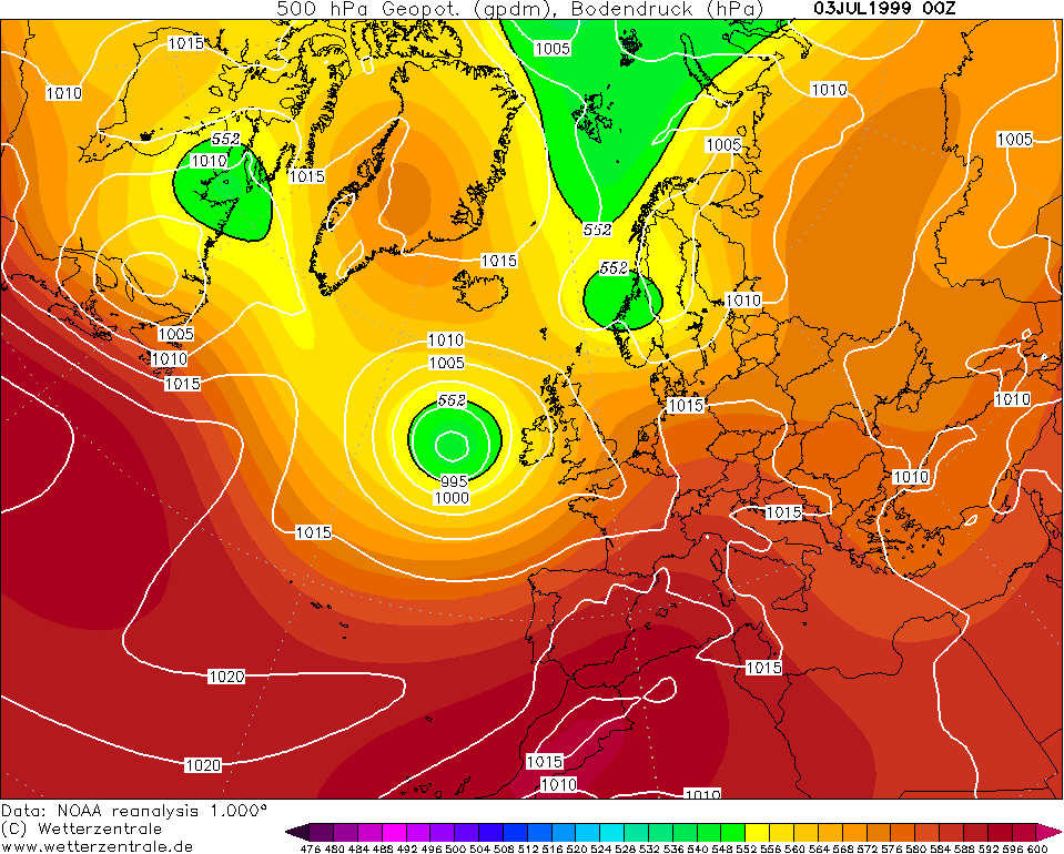
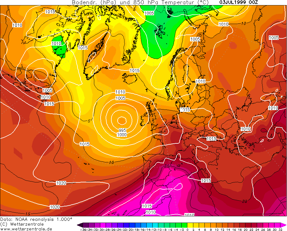
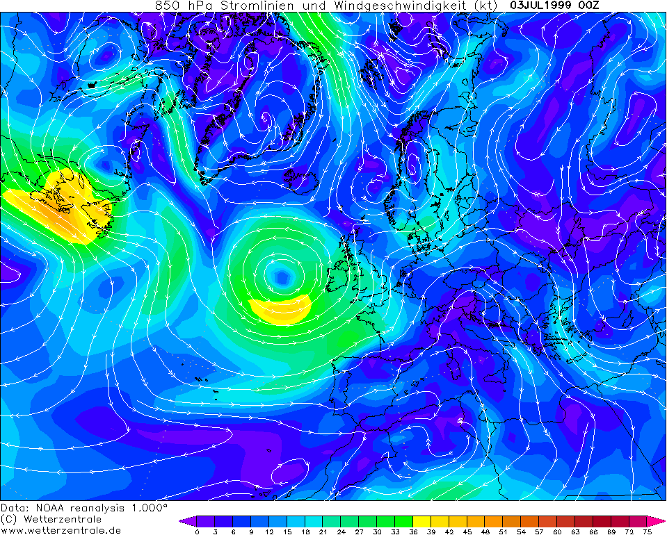
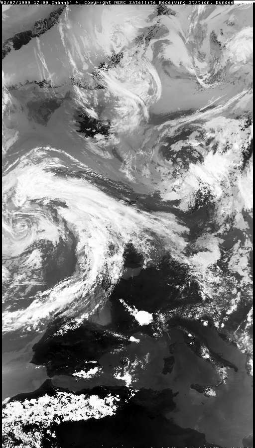
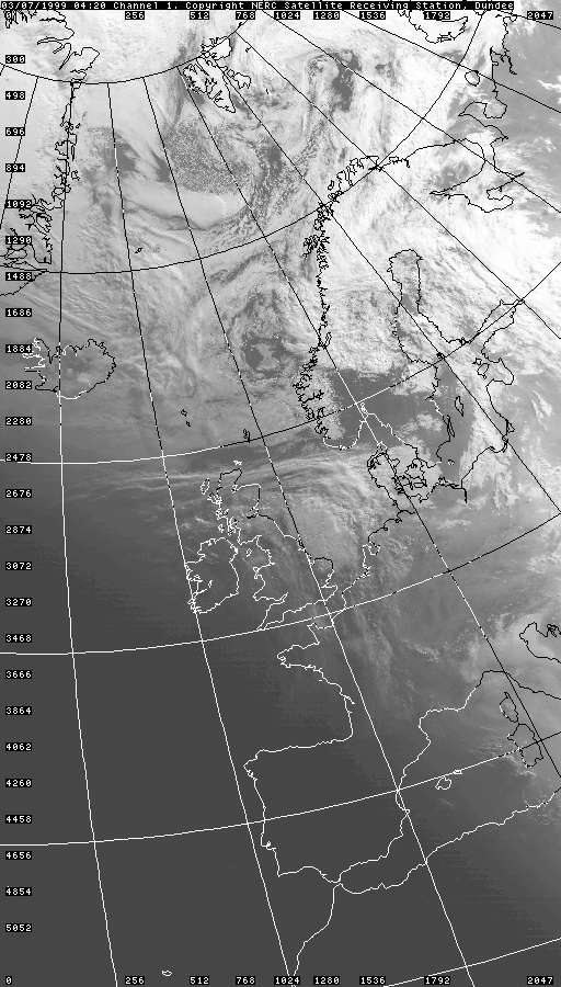
An active
Atlantic depression scooped up a continental plume and threw it across the
UK on this day, with a widespread outbreak of thunderstorms overnight,
locally severe with constant lightning. Macclesfield grazed three separate
pulses near the wave-tip of the plume, destabilised by a rapidly advancing
upper trough from the Atlantic. Very little thunder was experienced north of
the area. The day was hot and humid with 29C recorded in London, and with
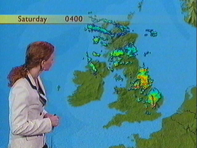
the first significant destabilisation of the atmosphere was experienced over
southern Wales during the evening excluding non-thundery afternoon showers
in the west (Altocumulus Cast). These cells upscaled through the evening and
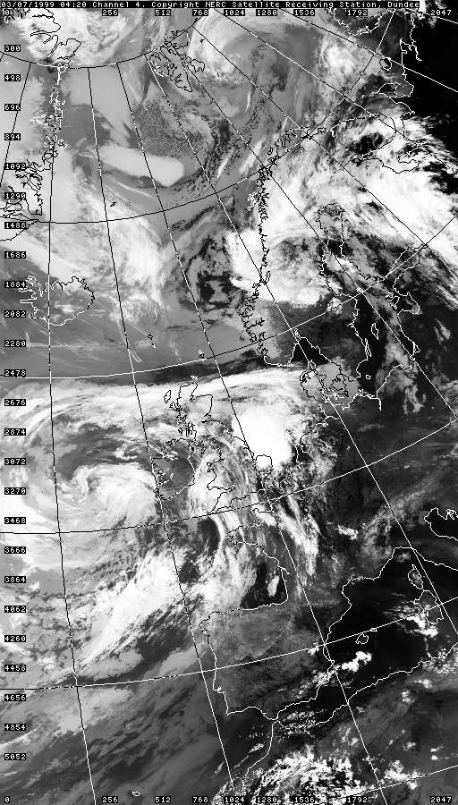
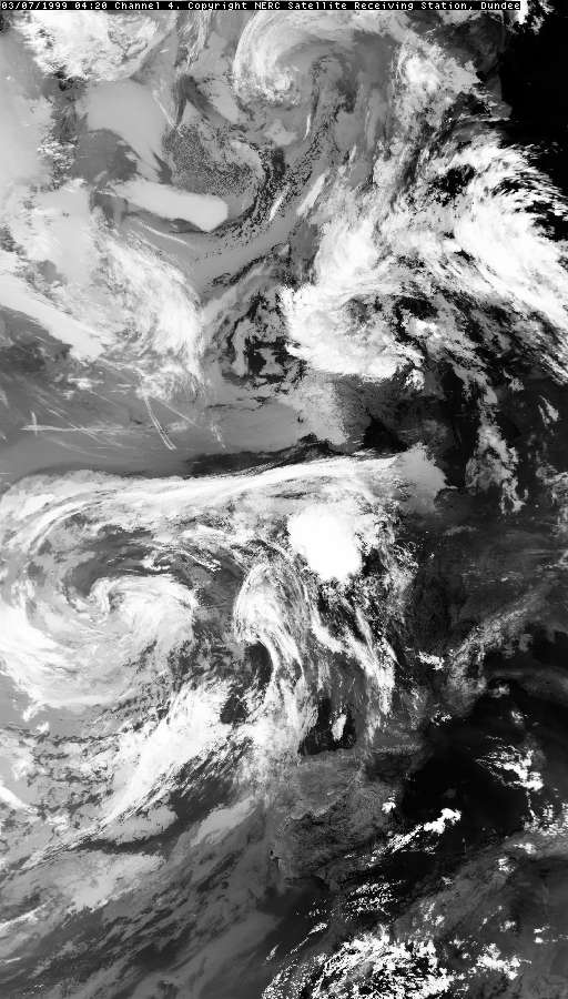
overnight into large elevated MCSs (Mesoscale Convective Systems), one over the northern
Midlands and the other towards the
Cambridge area. The northern-most
MCS (Cell 3 for Macclesfield) just clipped the area to the south-east and showed
off its 7 second
discharge rates over the Pennines.
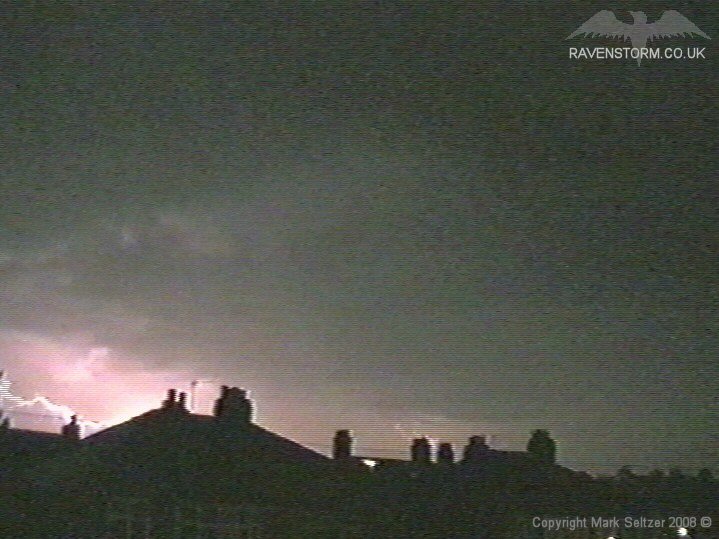
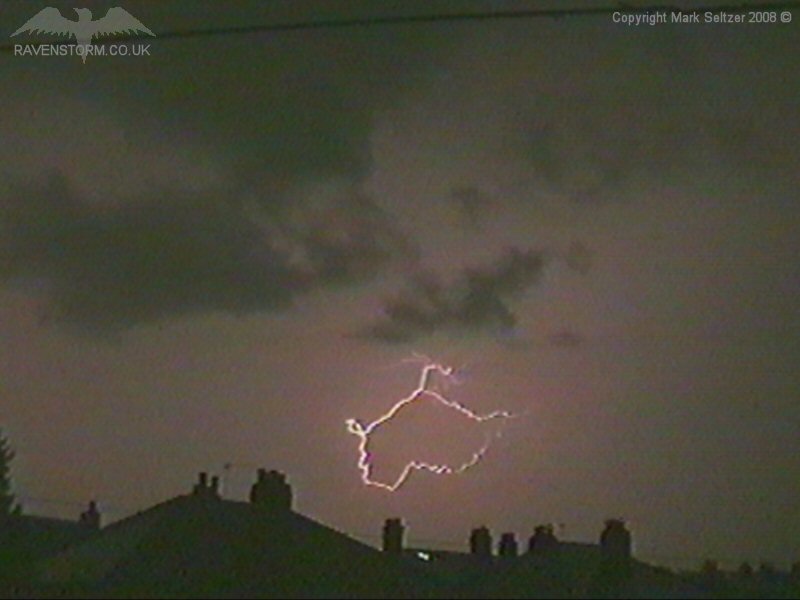
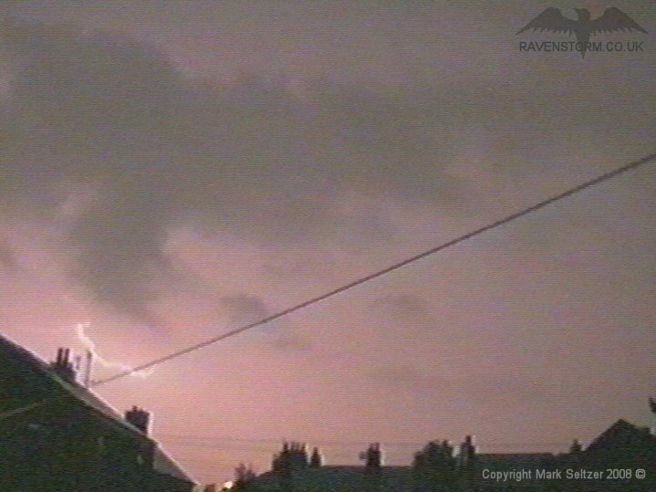
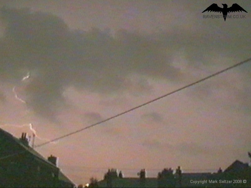
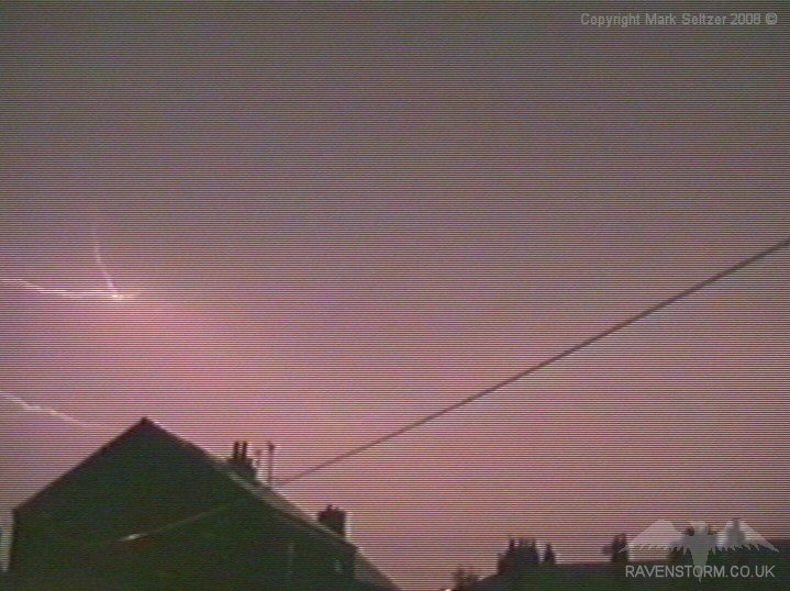
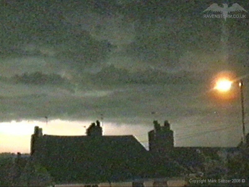
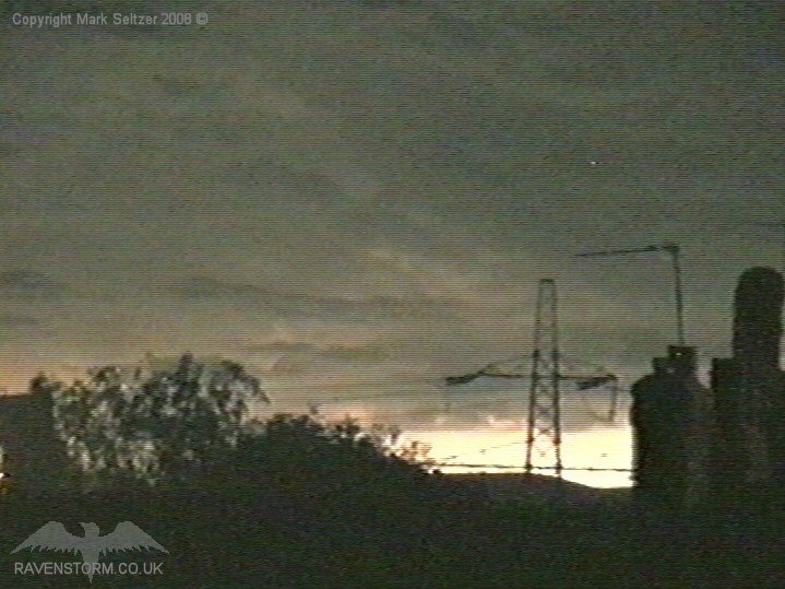
A couple of fairly weak cells then approached Macclesfield, which flickered in the southern skies and gave a few C-Cs on approach. Unfortunately this cell died out as it got close, assumingly as more southerly-positioned MCS took all the inflow of the plume. CELL 2: 01:34BST It wasn't until half an hour later the this MCS passed within a few miles of Macclesfield, creating the bulk of the footage. Discharge rates were seen to be little more than 10 seconds at this point, mostly with faint upper-level I-Cs and lightning shielded by distance and rain-curtains.
Amongst the constant flickering there were a few close C-Cs and a fantastic I-C multi-discharge with tens of return strokes lasting a couple of seconds. The rest of the action was distant I-Cs over the Pennines.
The southern part of the storm by this time was over Derbyshire where a friend of mine was camping in a trailer as it passed over. His eye-witness account was that C-Gs were striking the ground viciously around them and a few trees were hit and car alarms were going off all around them. Pretty intense. Meanwhile the southern MCS over towards Cambridge was now causing havoc in East Anglia as it moved towards the North Sea at about 4-5am. This cell appeared on the radar to be even more intense with a very defined 70 mile long squall line, generating huge quantities of lightning and intense rainfall with 14mm of rain falling between 3 and 4am at Wattisham.
SFERICS (Credits) |
1.gif)
2.gif)
1.gif)
2.gif)
© Mark Seltzer
www.electricsky.co.uk