
![]()
|
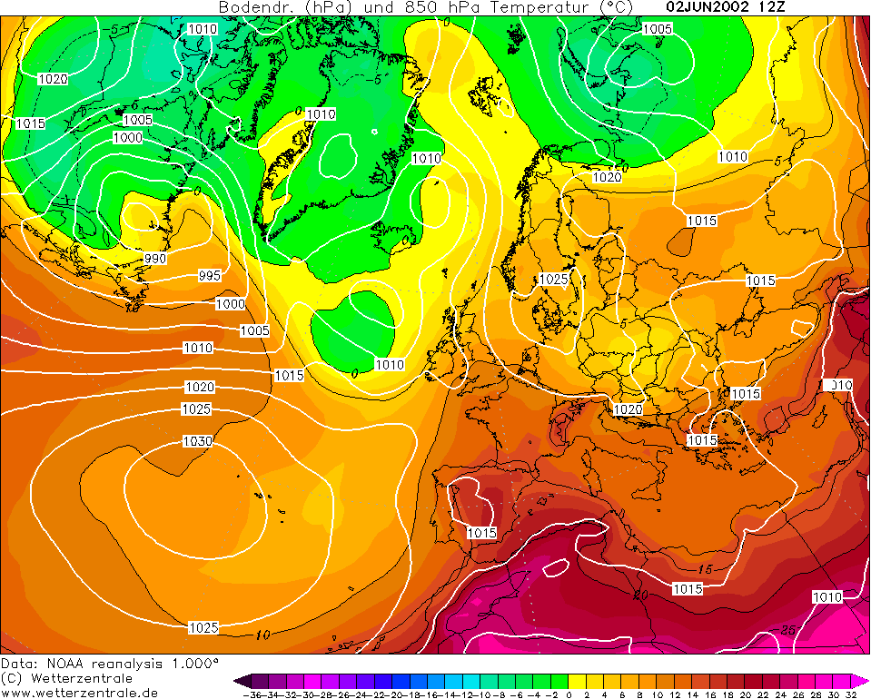
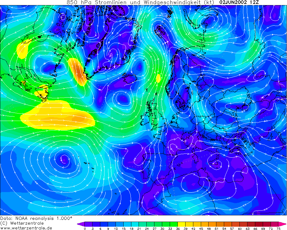
THUNDERSTORM T0042
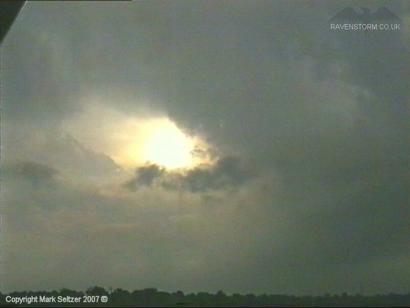
These storm cells were produced ahead of a Cold Front approaching from the
west lifting warm air travelled up from the Bay of Biscay. A genesis point
for intense cells passed right over the northwest region and was stuck for a
while whilst the upper level winds carried the cells slowly in a
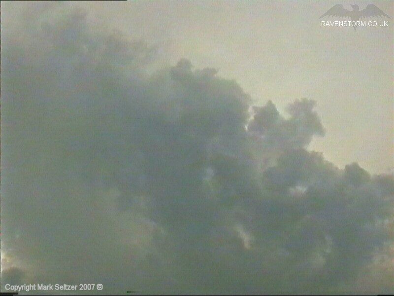
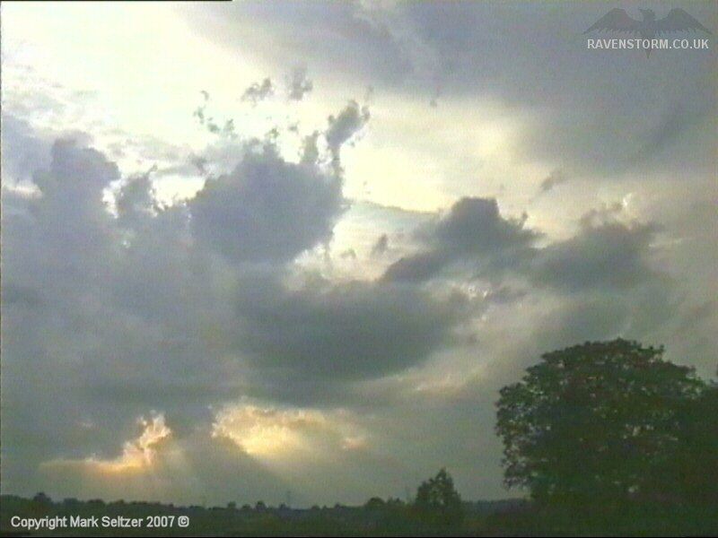
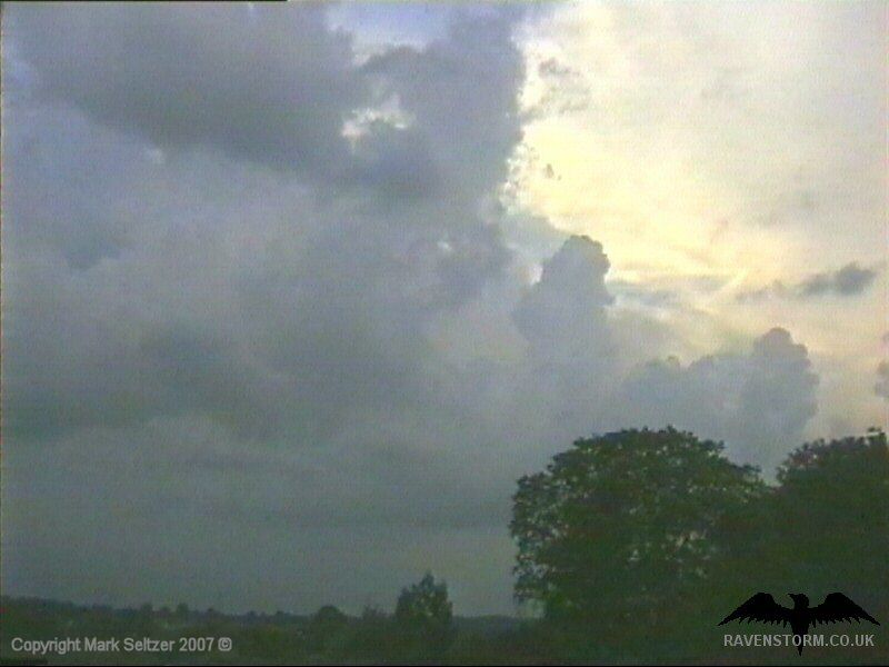
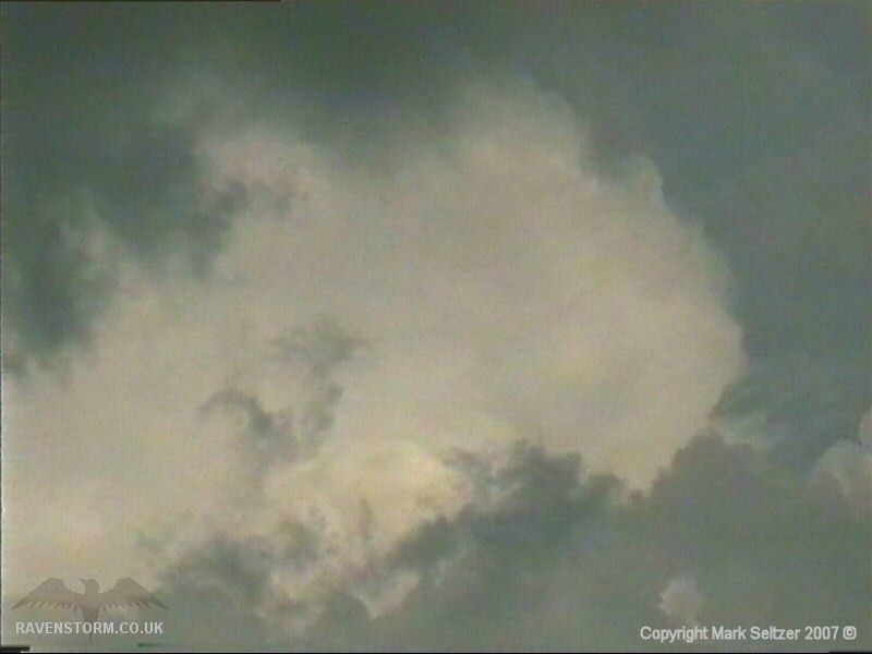
north-westerly direction. The result was fantastic sequence of organised
slow-moving storm cells with large mushroomed thunderheads. In total three
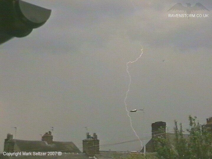
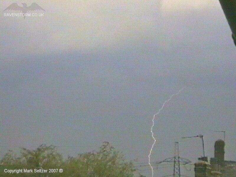
separate cells were spawned in the East Cheshire region. C-Gs were abundant
in all three cells in the footage.
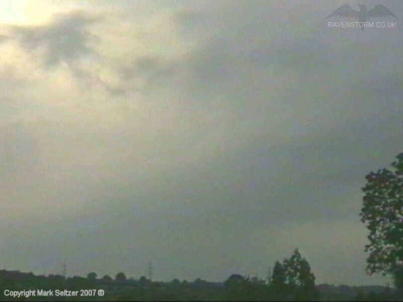
Cell 2
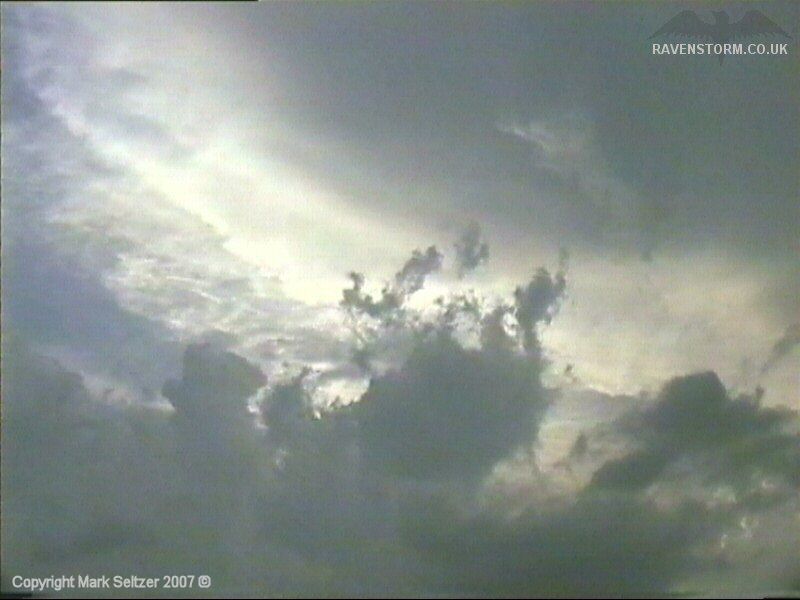
Cell 3
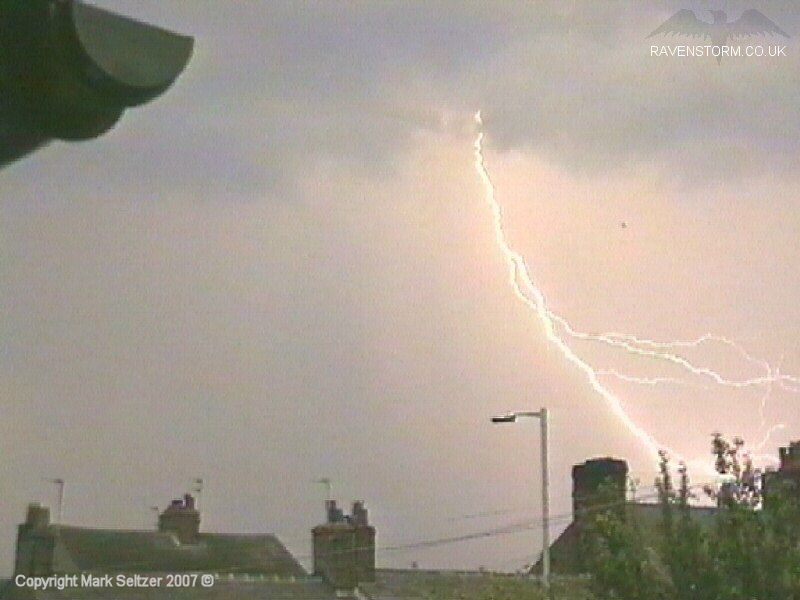
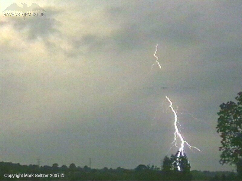
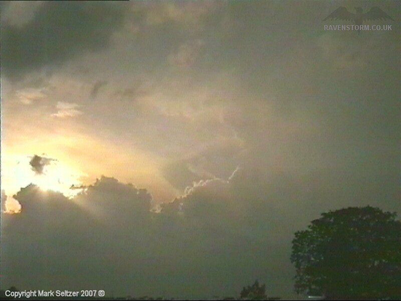
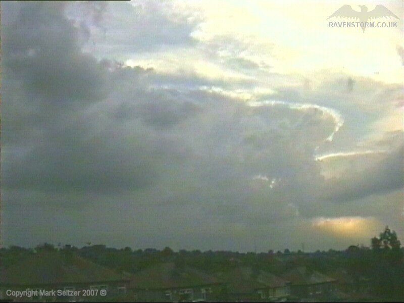
A close C-G strike that was slightly missed off the edge of the camera view was the closest discharge of the evening, and the front continued development of cells further north and east giving way to a spectacular view of mushroomed thunderheads, undisturbed by the strong upper-level winds.
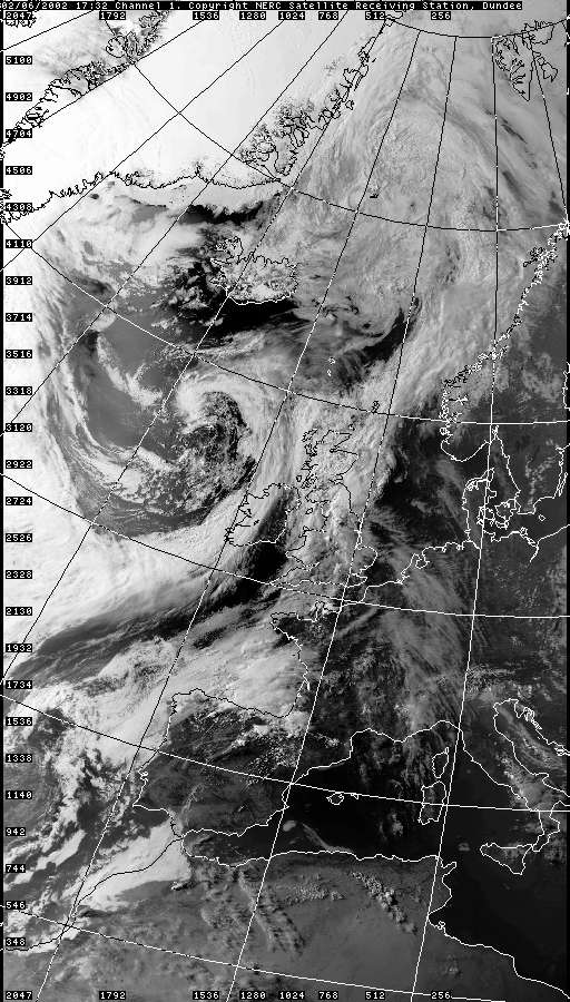
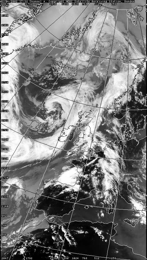
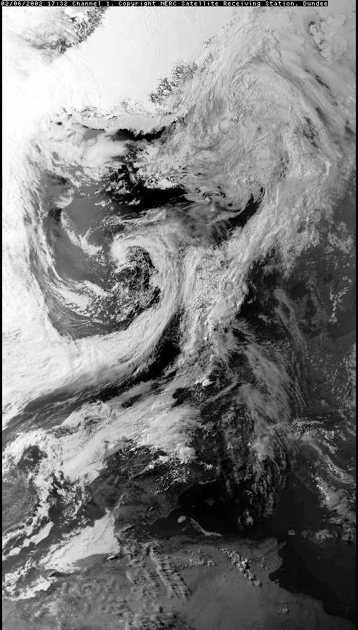
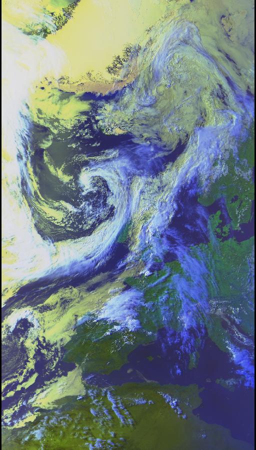
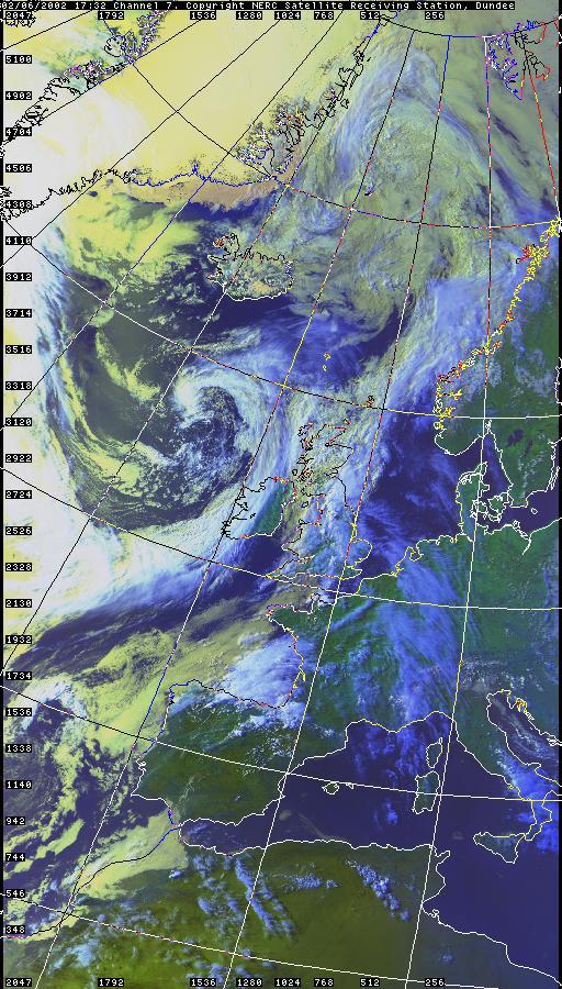
SATELLITE IMAGES (Credits)
|


1.gif)
1.gif)
© Mark Seltzer
www.electricsky.co.uk