
![]()
|
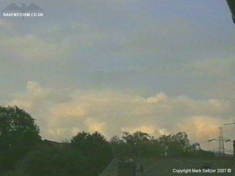
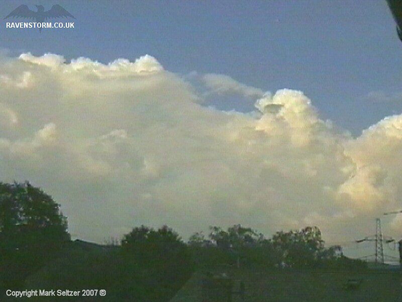
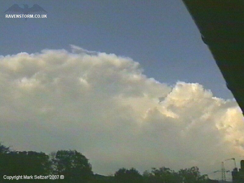
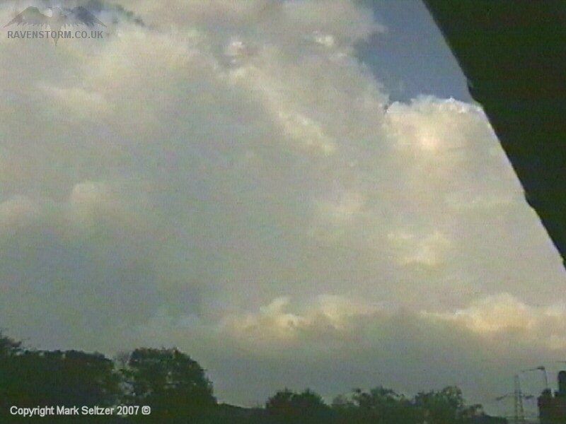
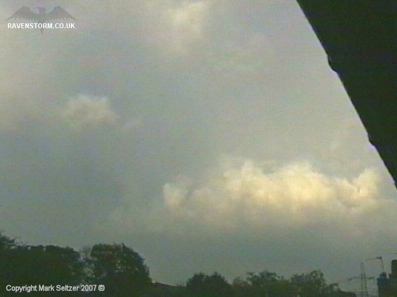
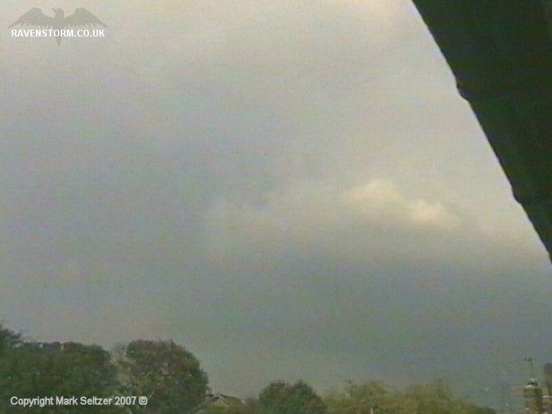
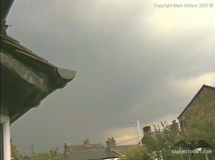
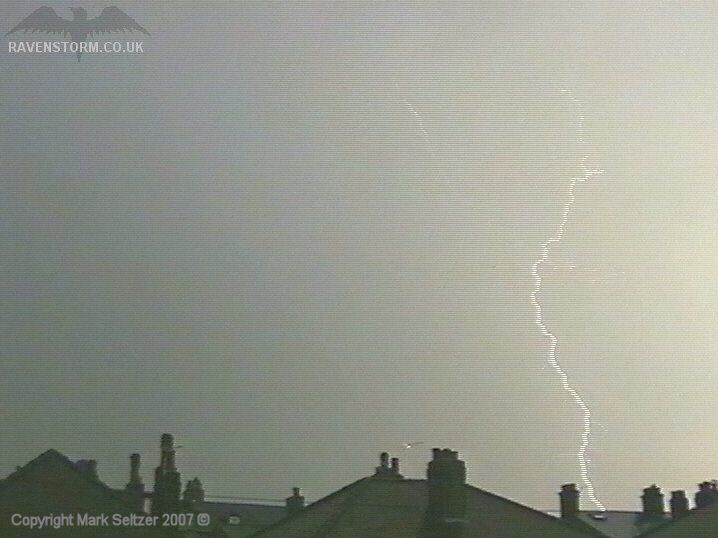
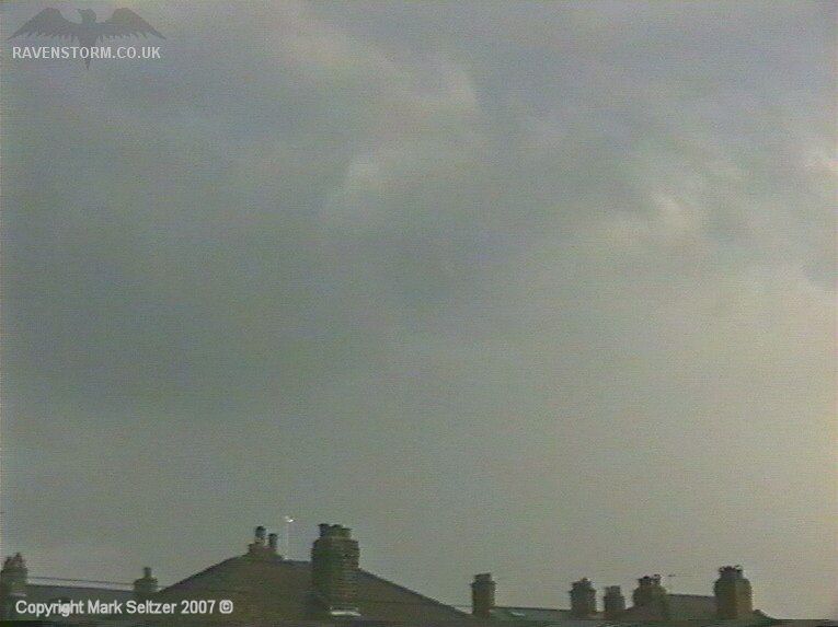
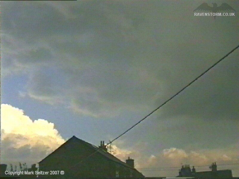
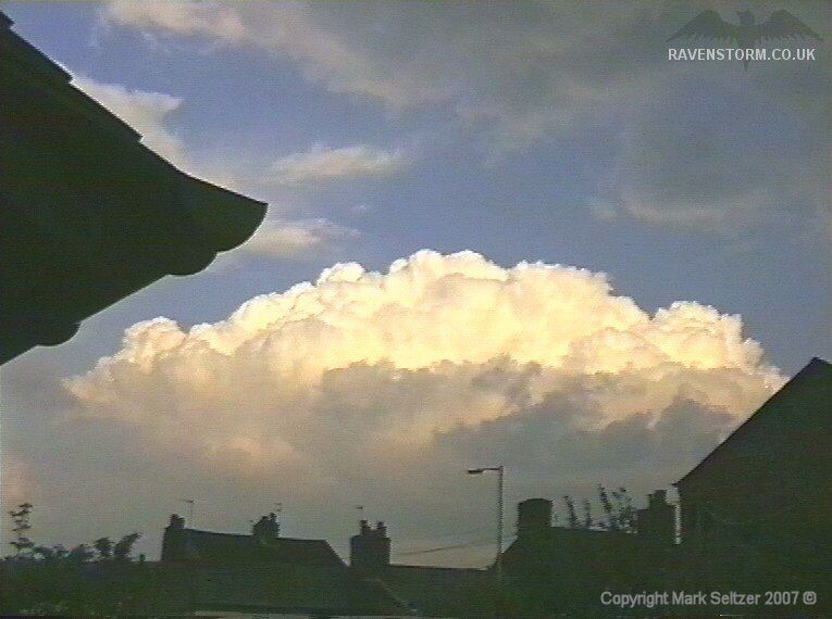
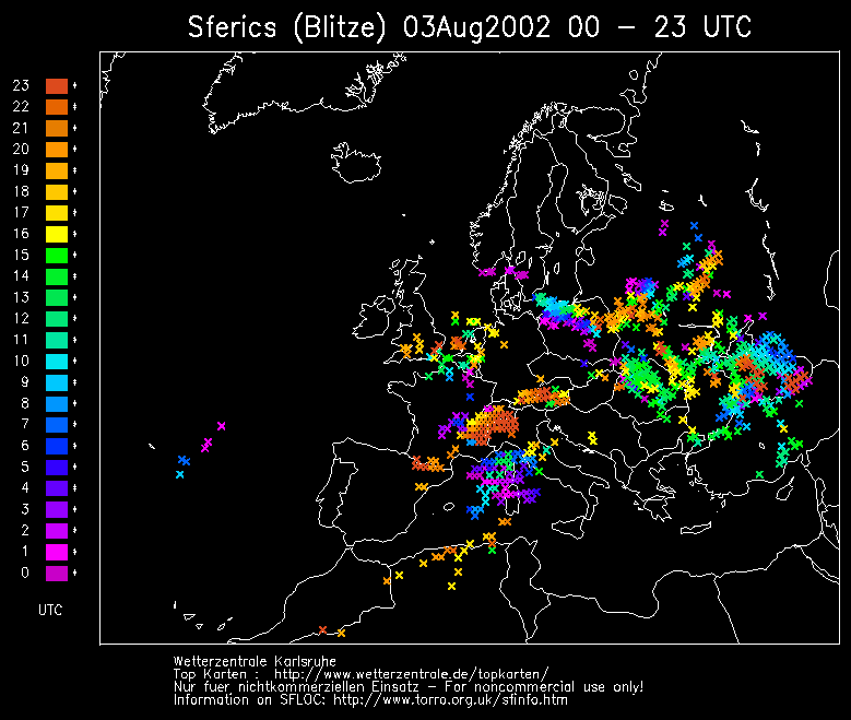
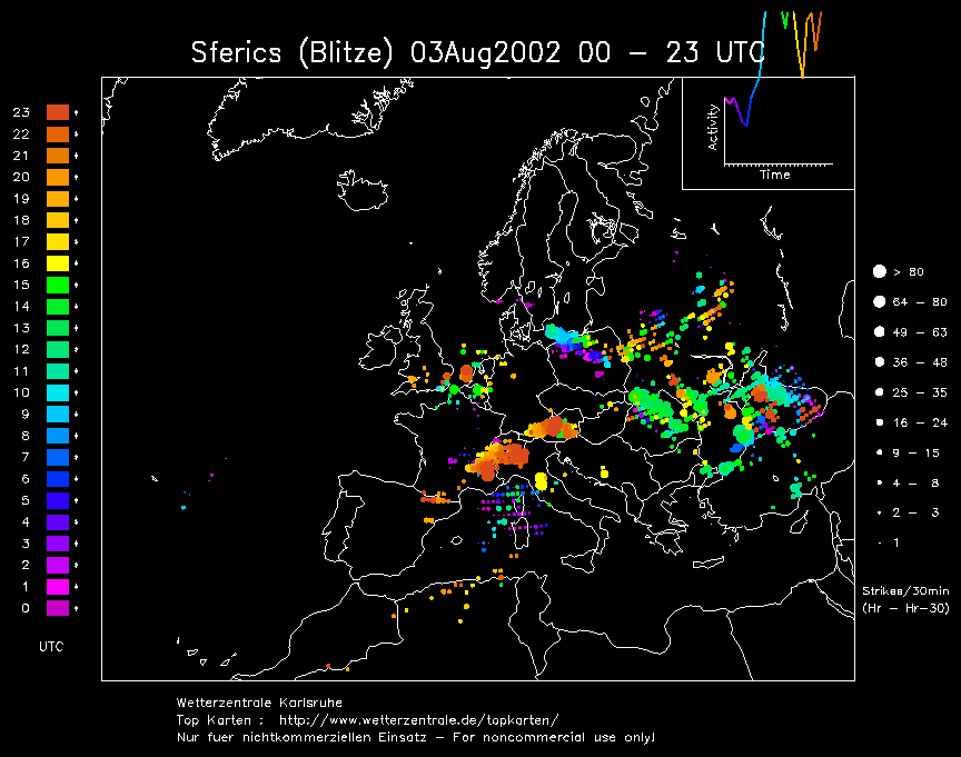
THUNDERSTORM T0043 Slow moving showers rolled over the Pennines from the east during the afternoon in an unstable, rather cool airmass. A slack low was centred over southern England/Brittany. This particular cell that hit the south side of Macclesfield at 17:04 gave a few close weak C-G discharges, one of which was caught on camera. The lightning didn’t show up particularly well as it was generally very bright with high bases, and there was a thick rain curtain making visibility poorer still.
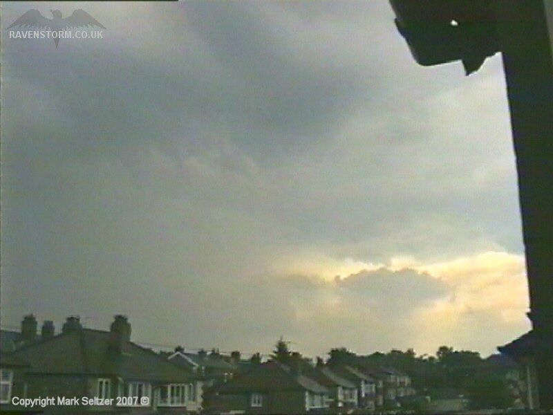
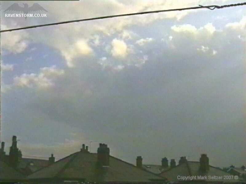
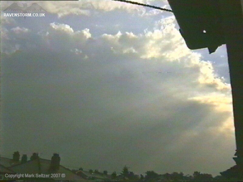
The wave of showers then developed further as it moved southwest with a view of back-building cells to the southeast.
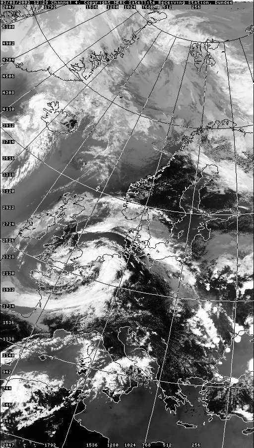
SFERICS
(orange markers) (Credits) |
© Mark Seltzer
www.electricsky.co.uk