
![]()
|
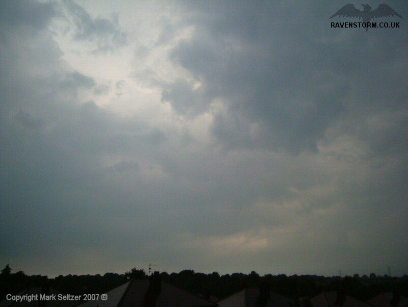
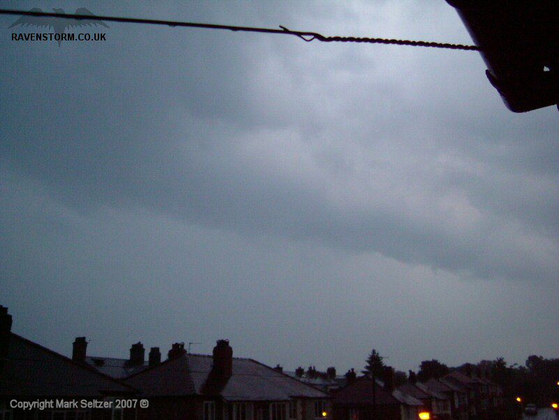
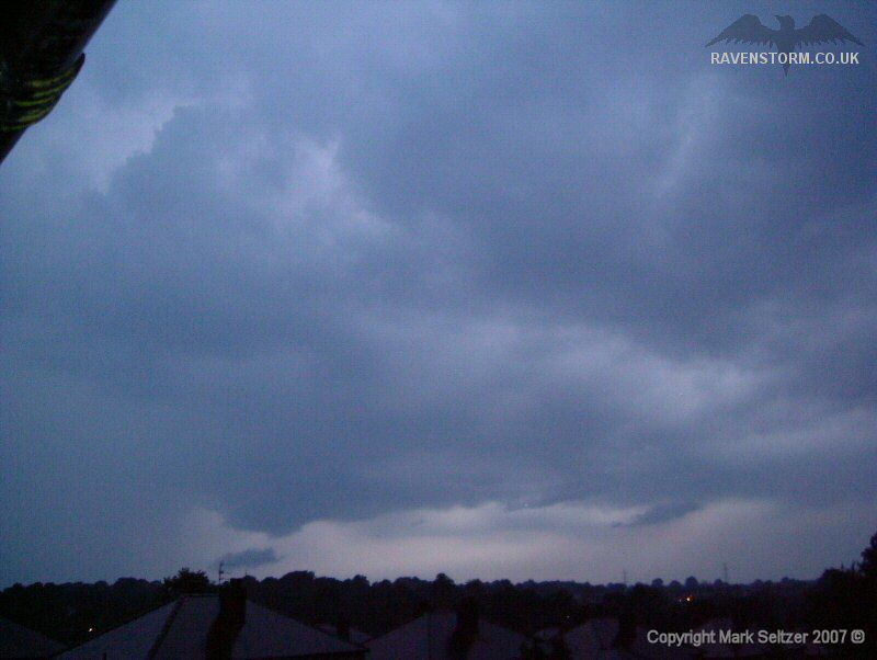
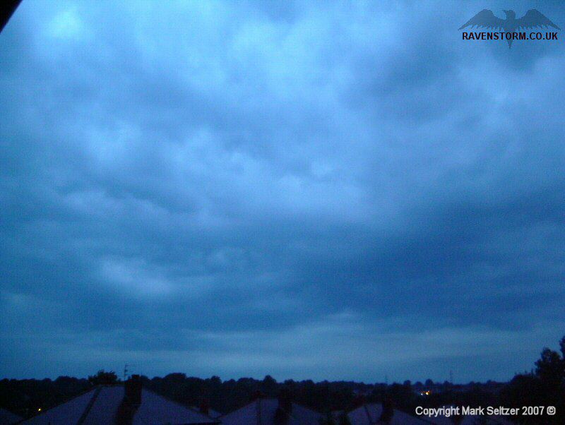
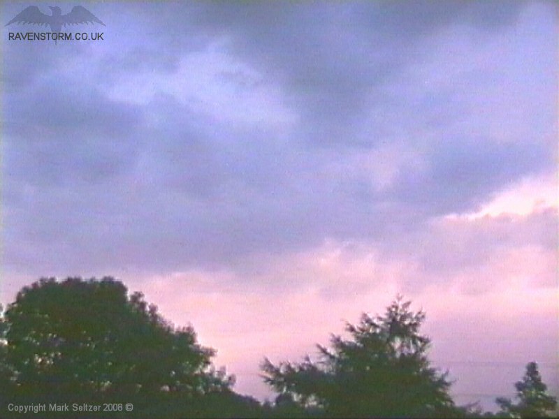
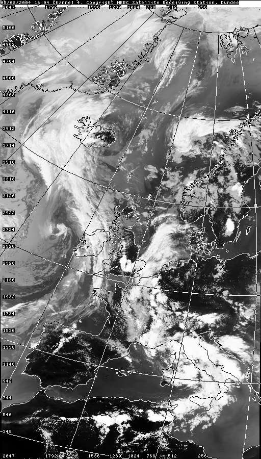
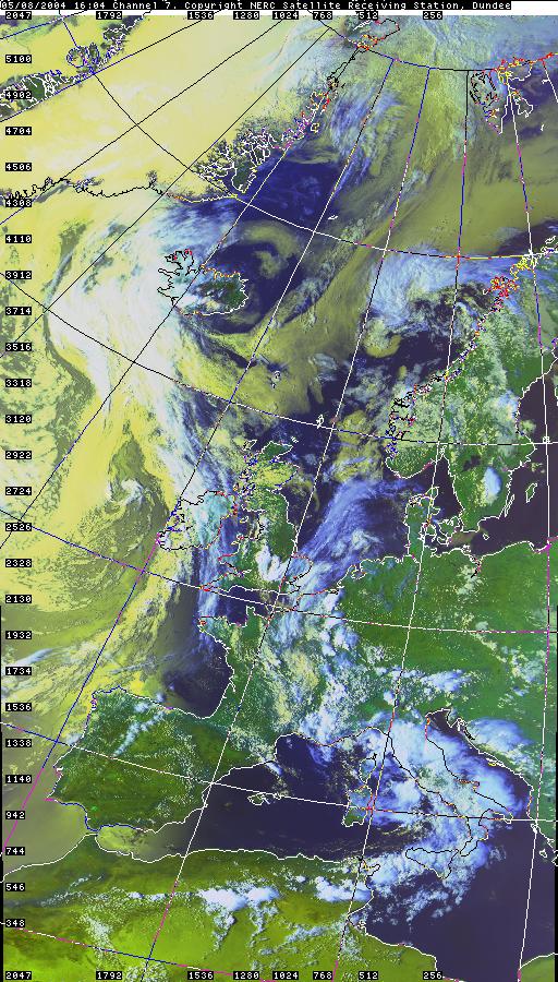
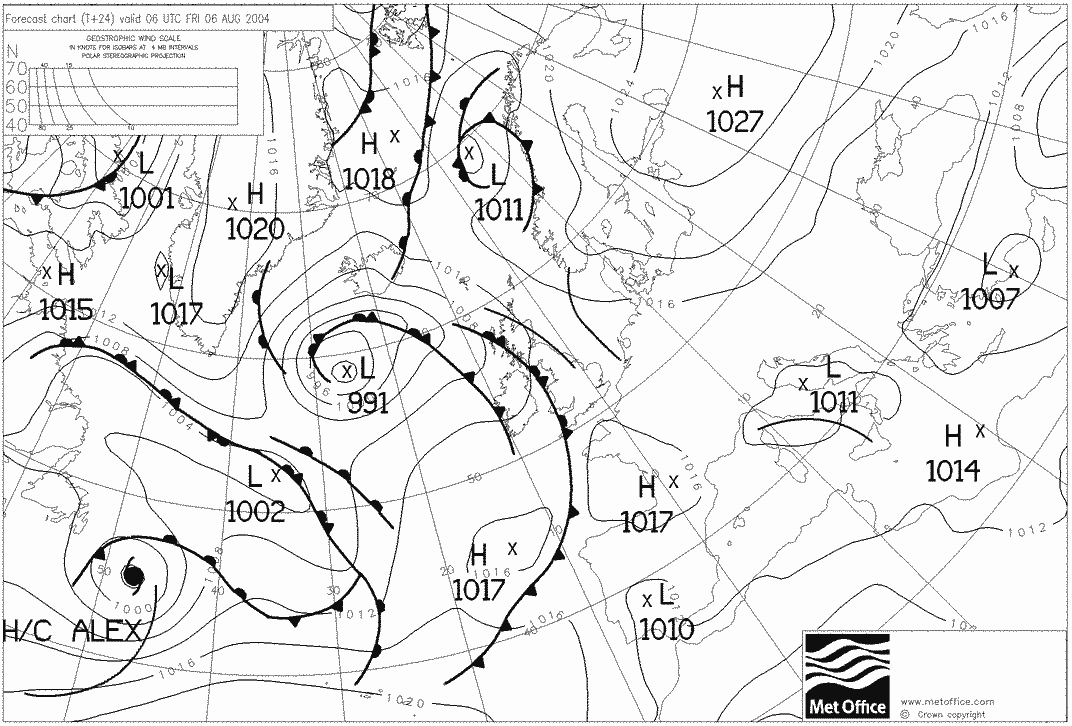
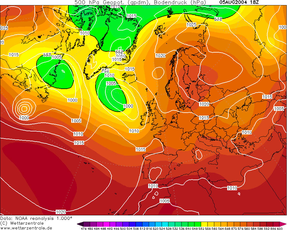
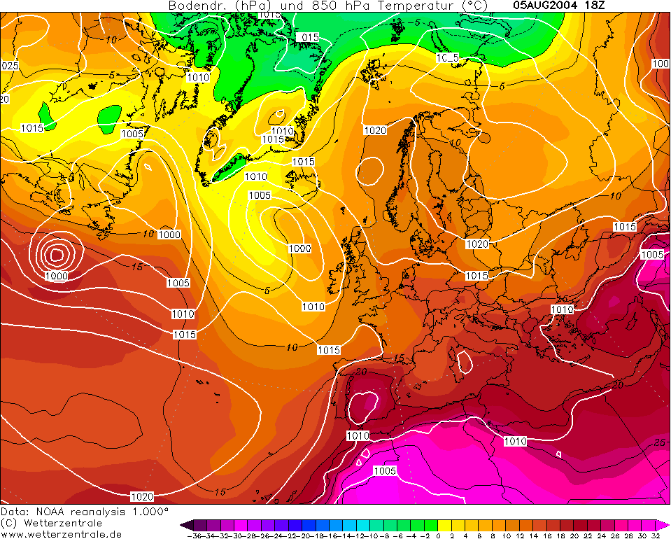
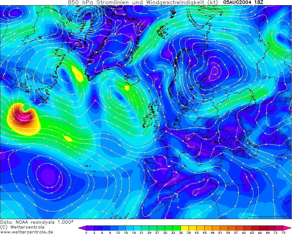
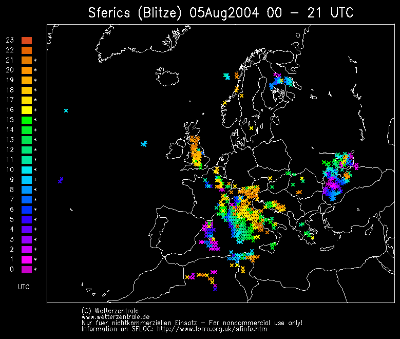
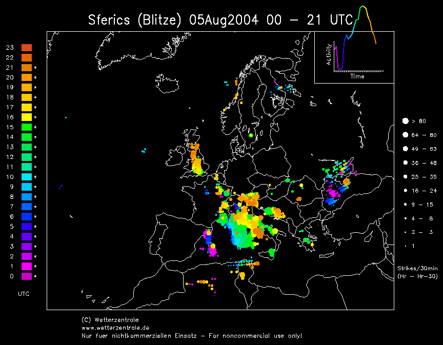
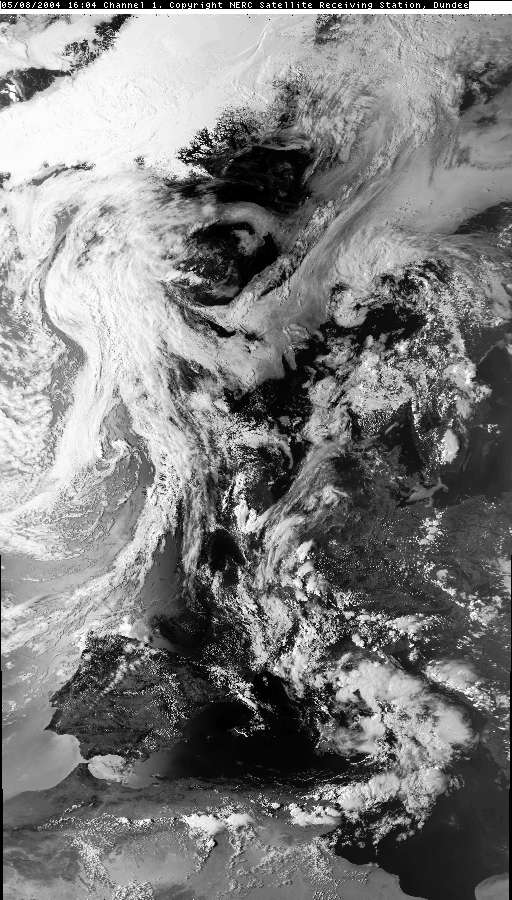
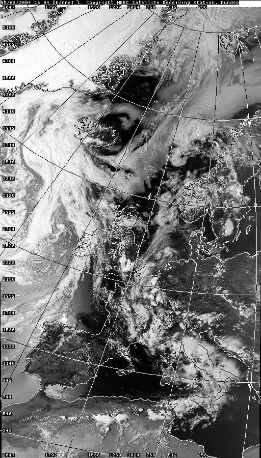
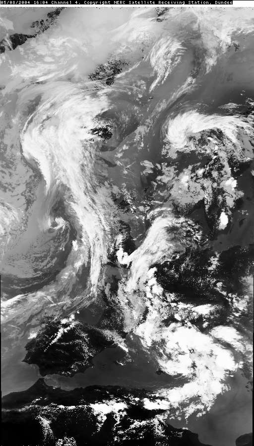
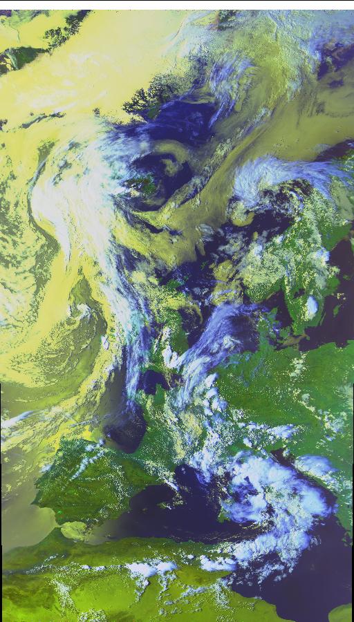
THUNDERSTORM T0051 A typical set-up here for the UK where a continental plume gets dragged up from the south and gets lifted by a combination of daytime heating and an advancing Atlantic trough from the west. As the surface-heating got going after midday, with temperatures into the low 20s, some explosive convection began across the Midlands. Surface winds were very light, but the mid-level steering flow eventually brought the cells northwards towards my position.
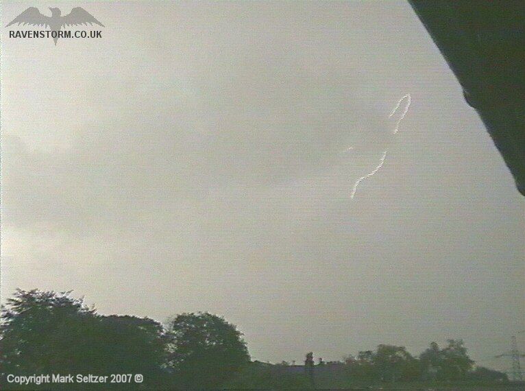
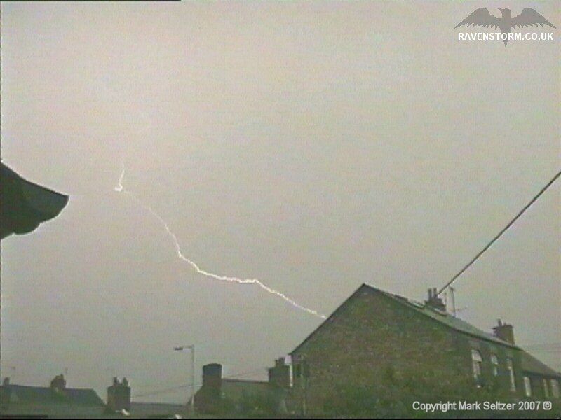
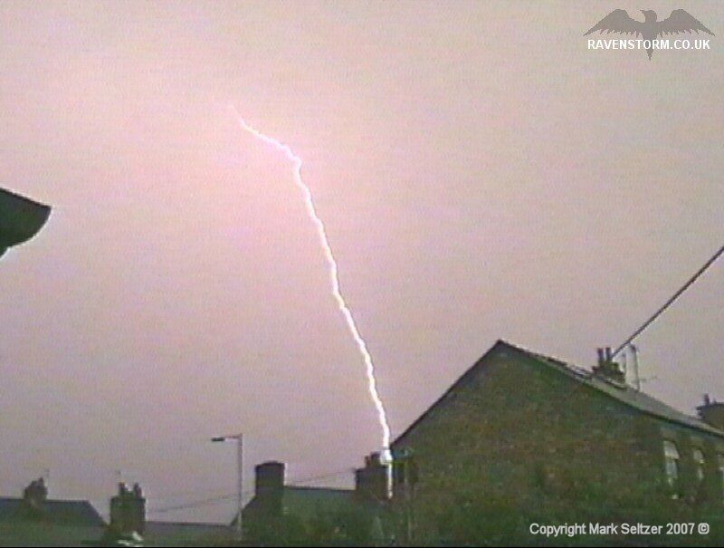
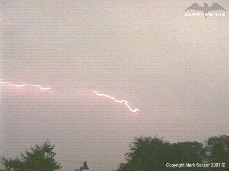
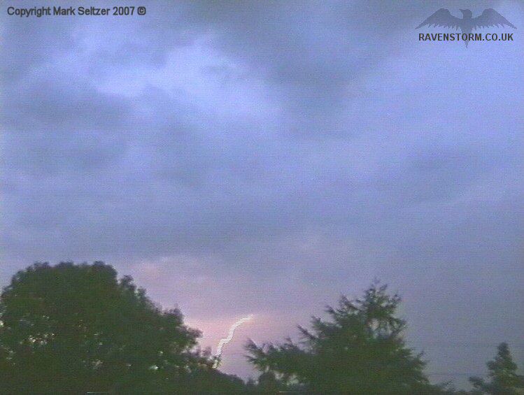
The first cell approached the Pennines and rolled just to the east of Macclesfield. Its high cloud-base was confirmed when it dropped a C-G which appeared close but wasn’t after waiting a while for the thunder. The thunders were generally of low-amp nature, surprisingly from a high-based storm, but some mid-amp thunders were mixed in.
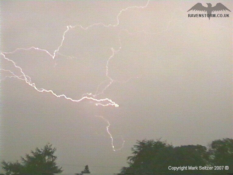
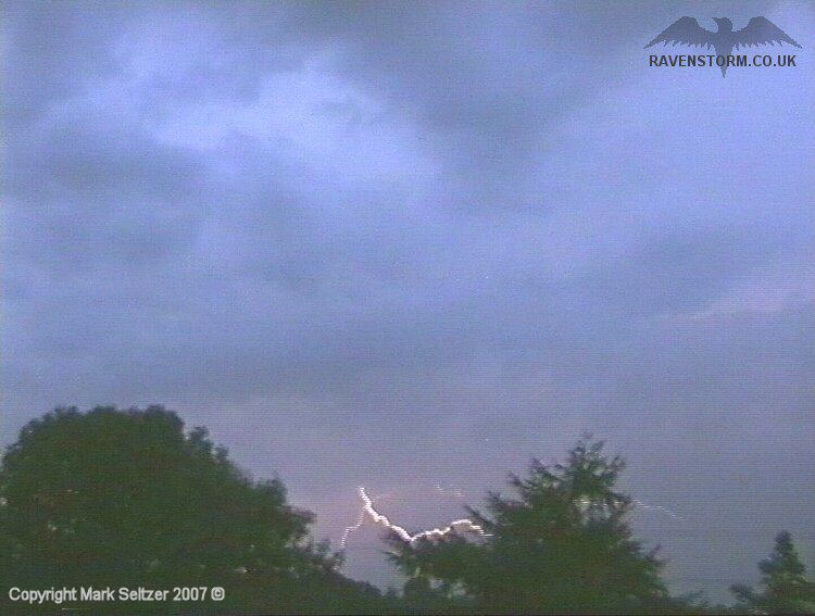
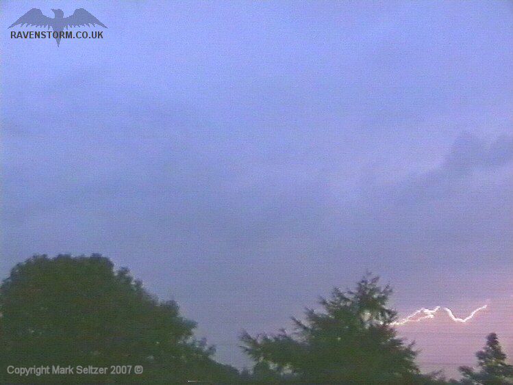
As the plume was aligned with the steering flow, and winds were generally light through the atmosphere, Macclesfield got to see 3 cells in total, with the show lasting around 2 hours. There were some excellent C-C discharges amongst cells 2 and 3, and the last cell gave some nice I-C as daylight faded, lighting up a lower cloud-base.
SFERICS (Credits) |

© Mark Seltzer
www.electricsky.co.uk