
![]()
|
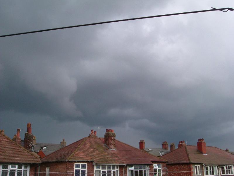
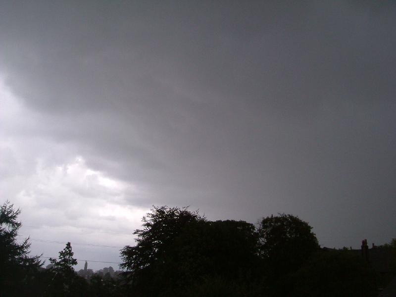
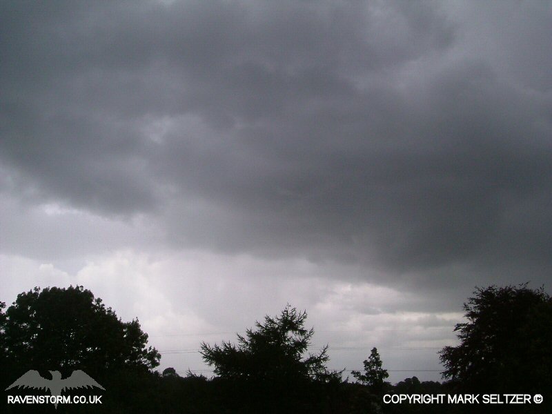
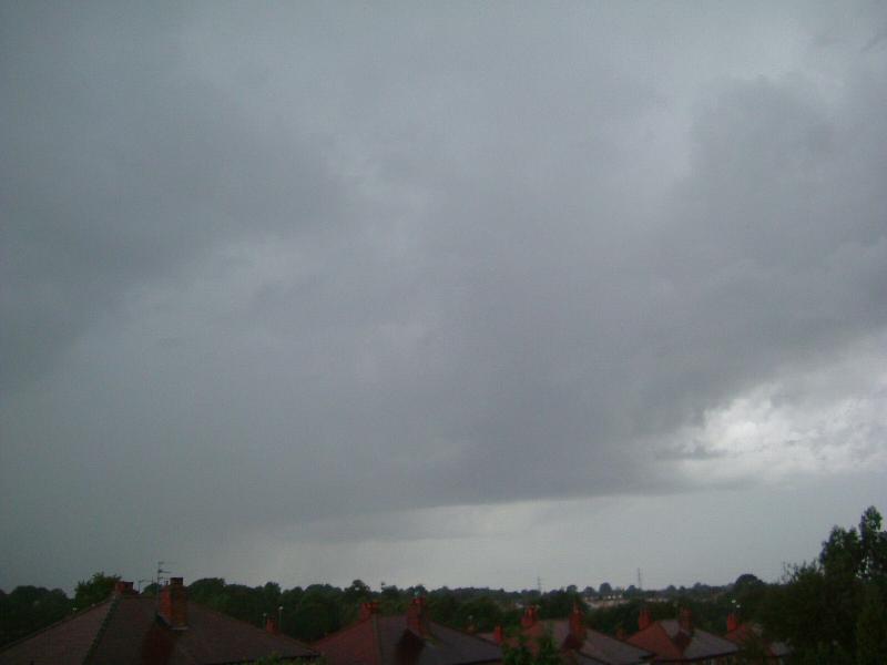
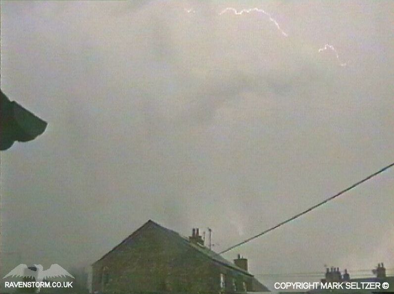
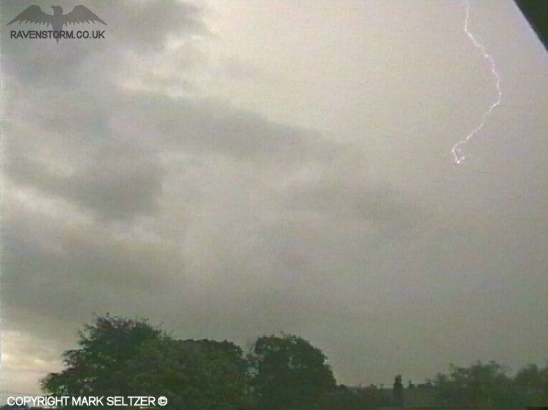
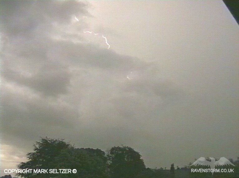
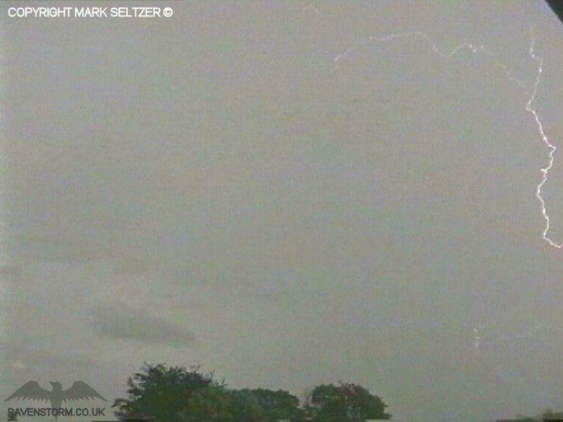
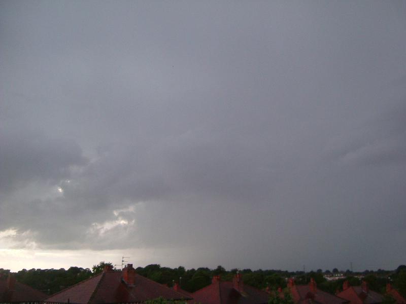
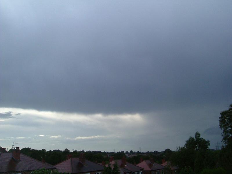
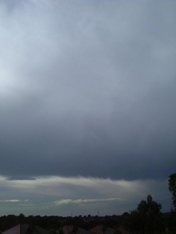
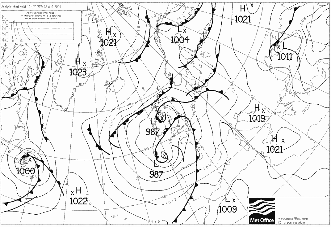
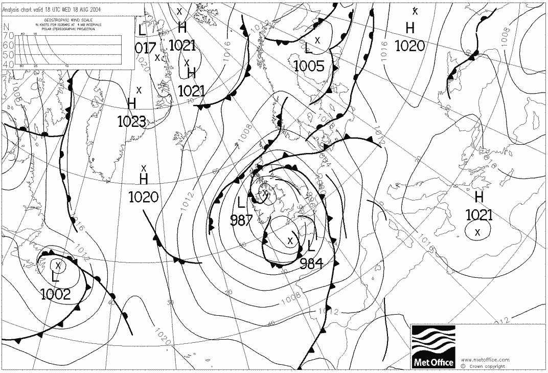
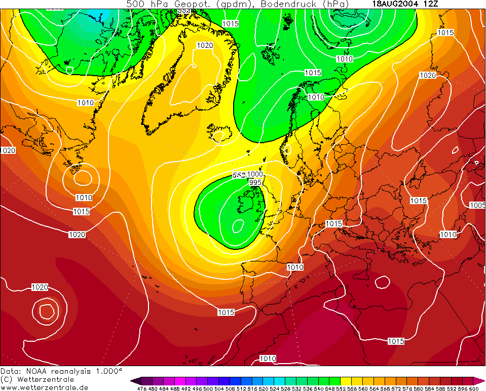
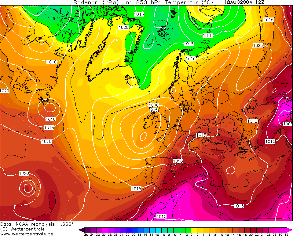
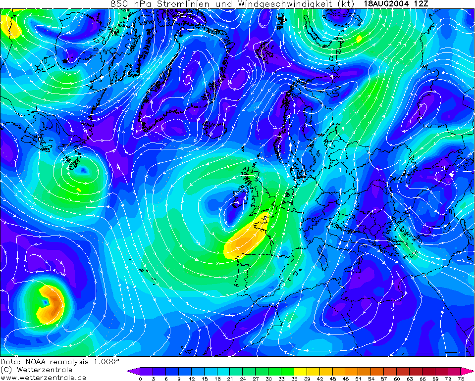
THUNDERSTORM T0053 This storm was just starting to move in after I’d got in from work - well timed. It was moving in quite quickly and on first impressions was obvious to most that it was likely to be electrified, especially given the airmass being a heated returning polar maritime. There was a strong and organised updraught evident at the front, judging by a linear arcus cloud with a dense rain curtain right behind it (less likely to be dry outflow). The parent weather system was actually the signature of ex-hurricane Bonnie, and it still had some energy contained within it even as a mature extra-tropical low. This storm was one of two (T0054 came just a couple of hours after with even more power).
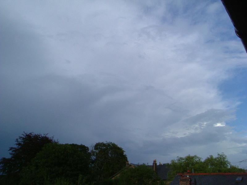
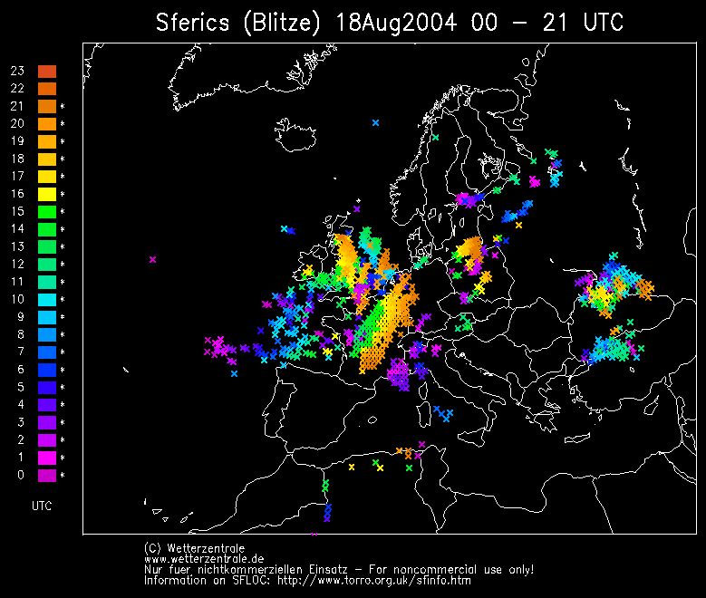
This storm was difficult to film as it didn’t really do much visibly under the base. The C-Cs were plenty but of low to mid-amp nature, and were barely visible within the rain curtains and daylight. However the discharge rate was good at an average of only 54 seconds. This storm patrolled northwards along a band of fast-moving cells and was visible in the distance. However the show wasn’t over when T0054 followed in behind proving to be a lot more spectacular, perhaps because it was riding an upper trough.
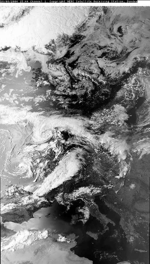
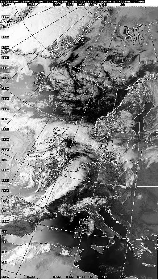
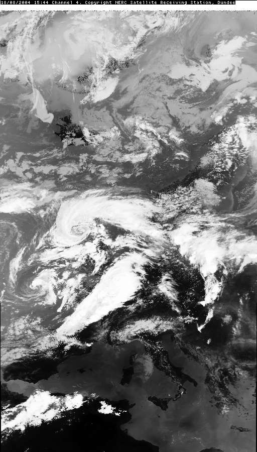
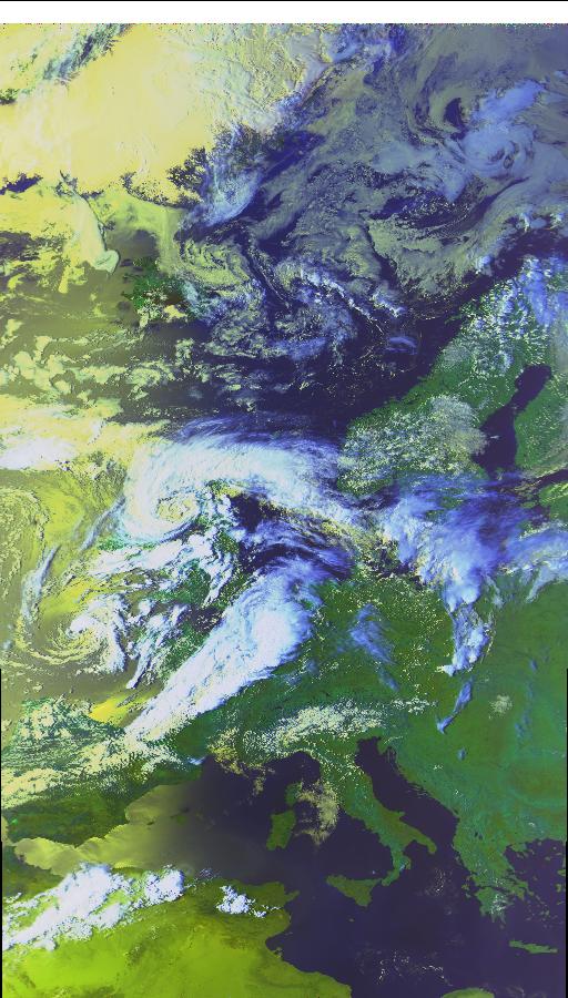
CHARTS
(Credits)
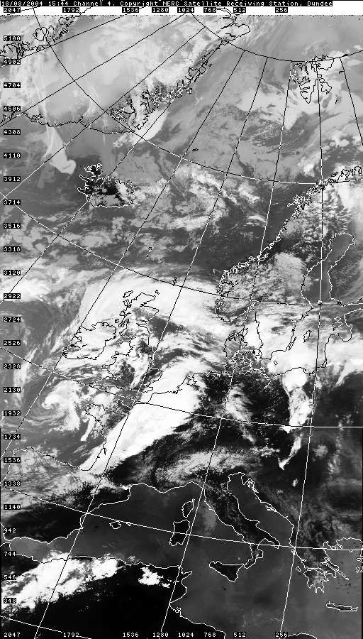
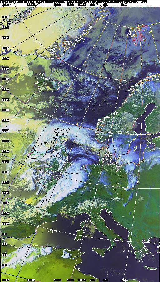
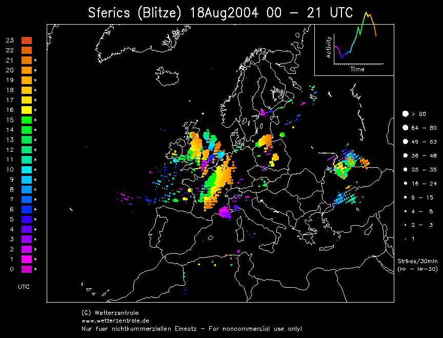
SFERICS (Credits)
T0053 was embedded in the arc of
convection seen across the Midlands, whilst T0054 is shown brewing in a new
line of convection positioned western Wales.
|


© Mark Seltzer
www.electricsky.co.uk