
![]()
|
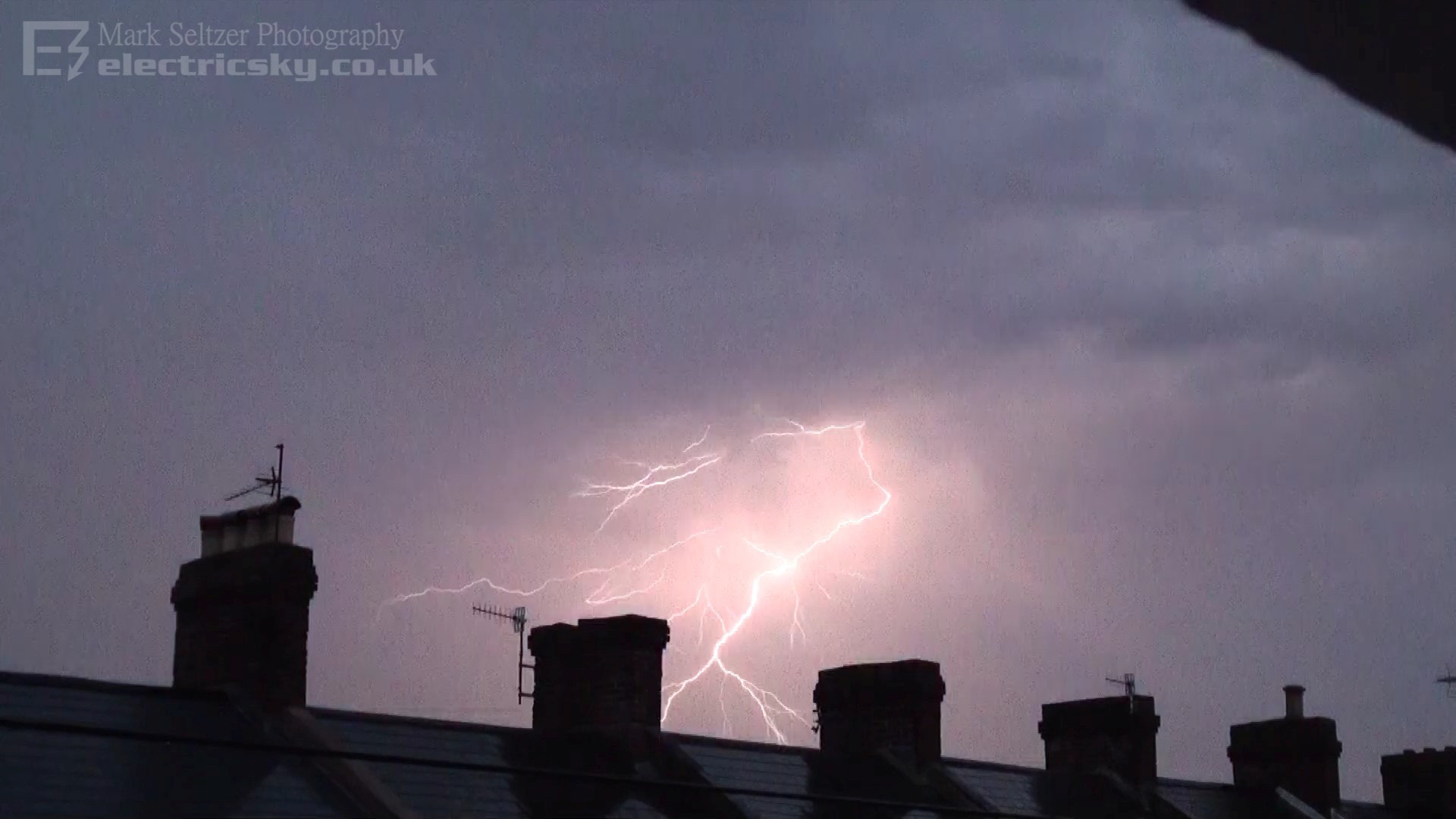
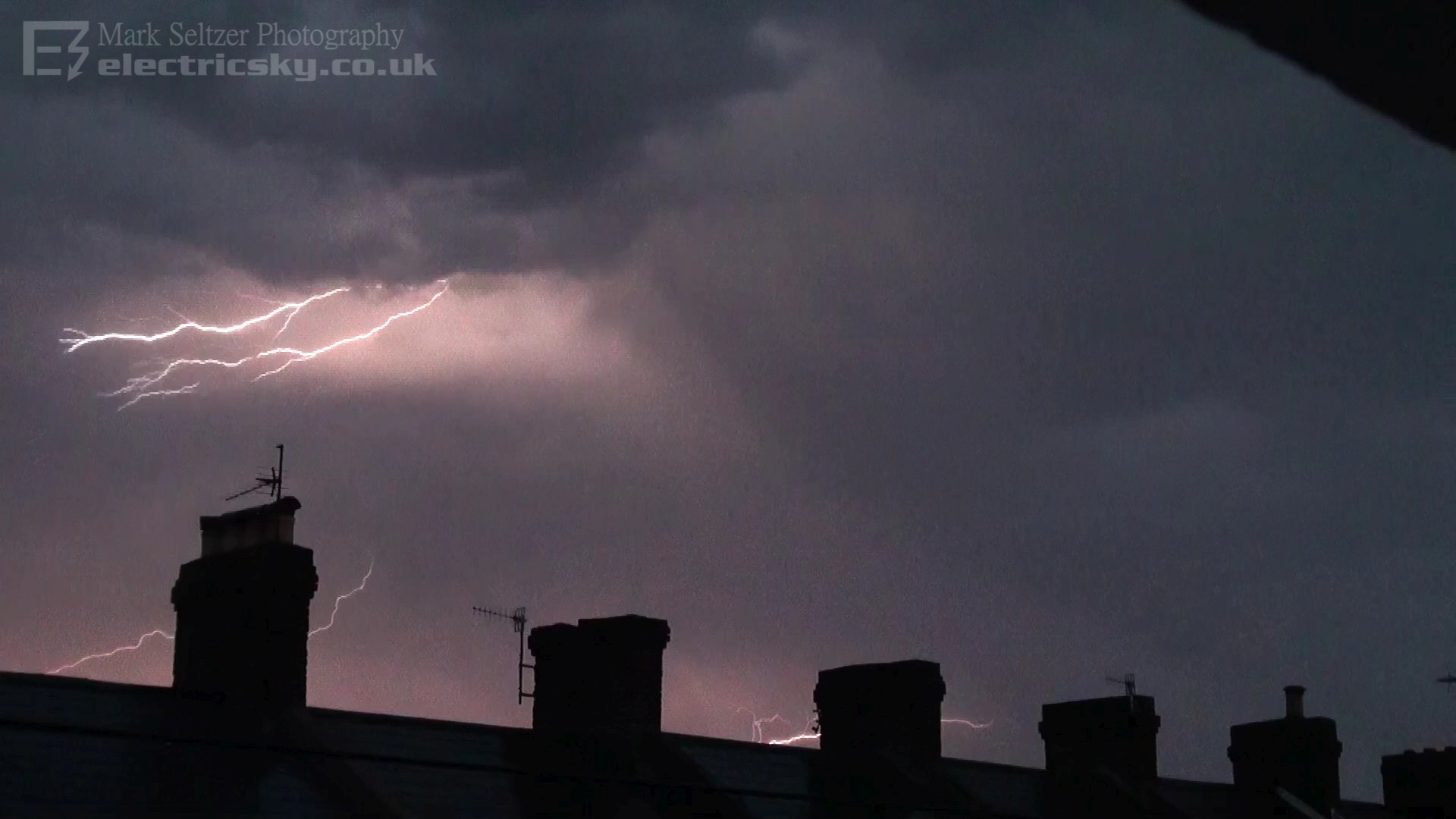
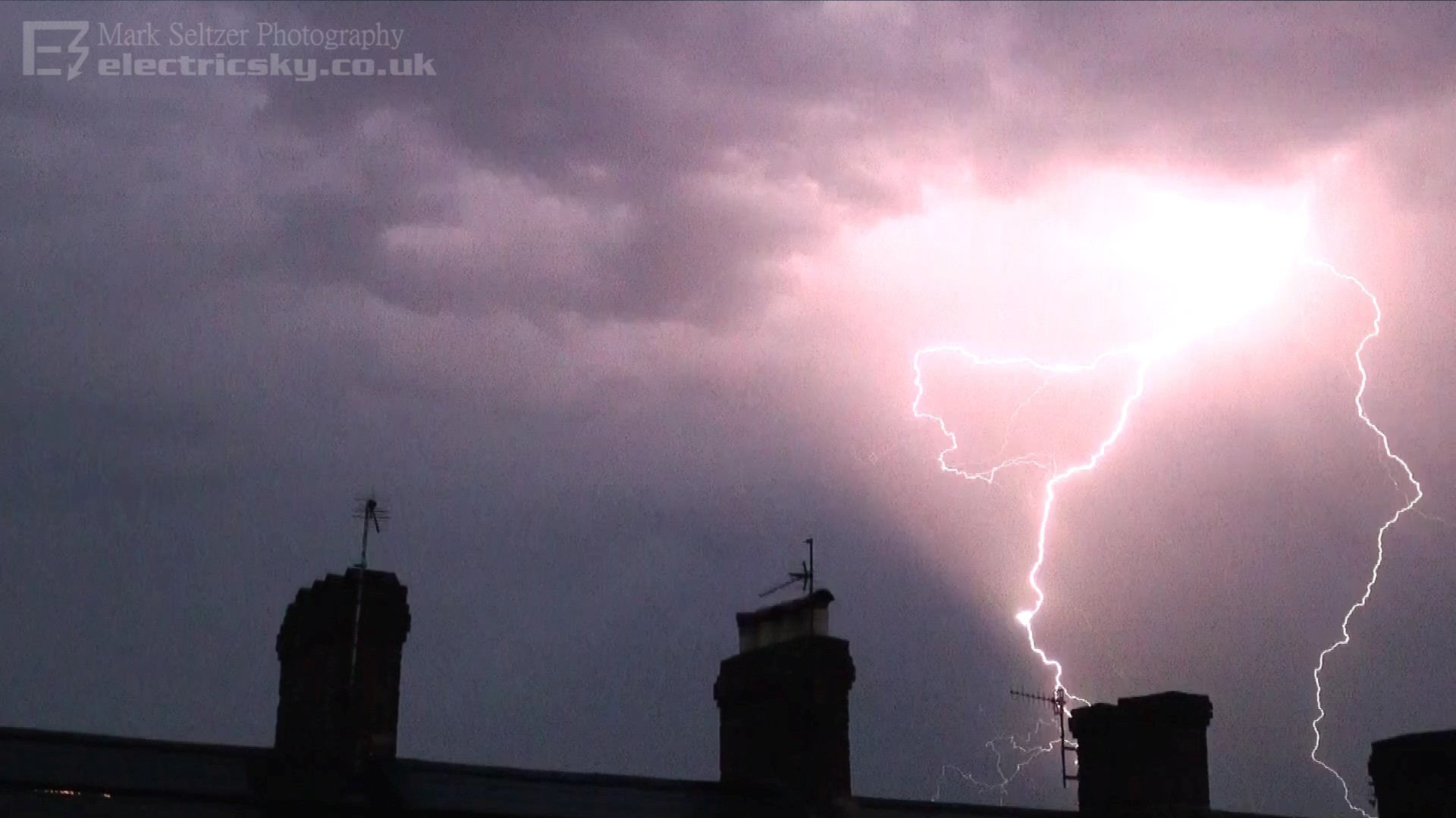
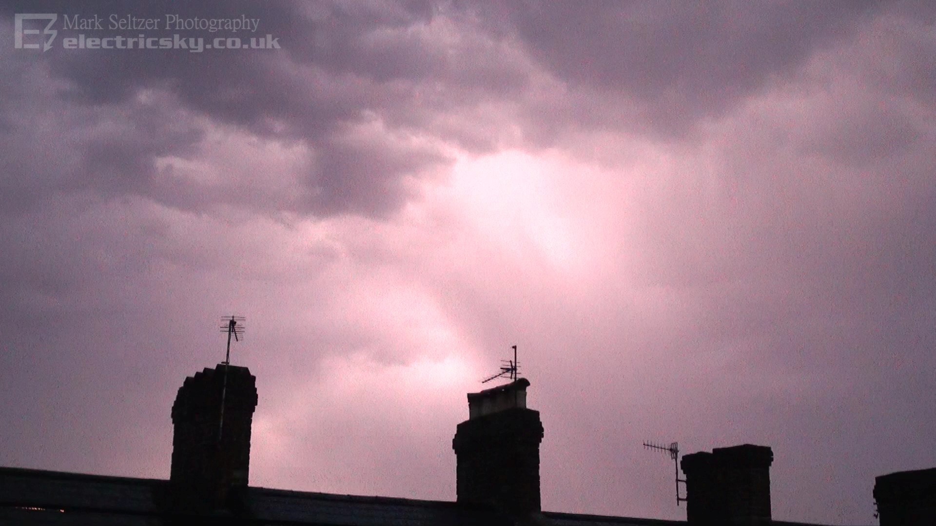
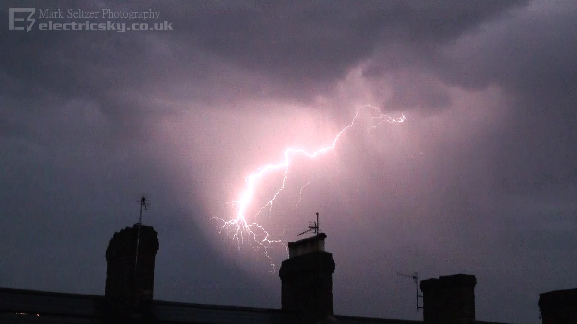
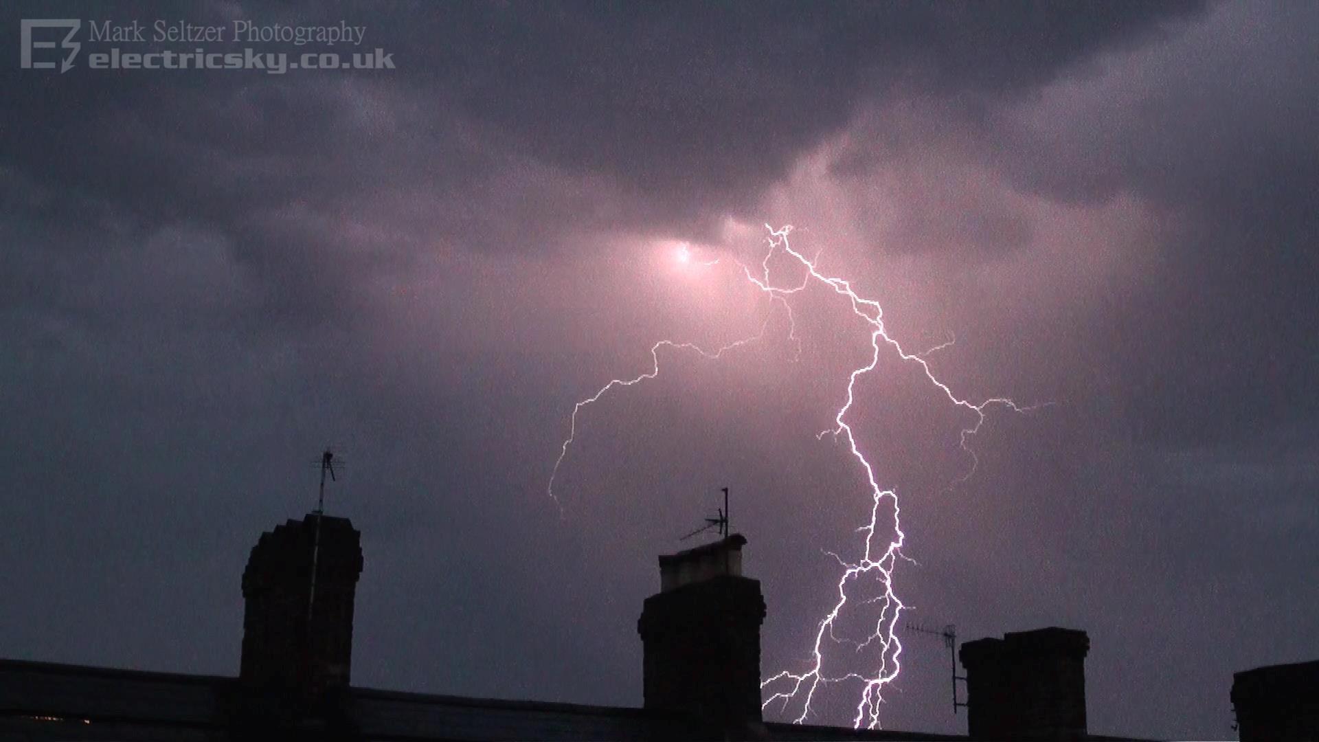
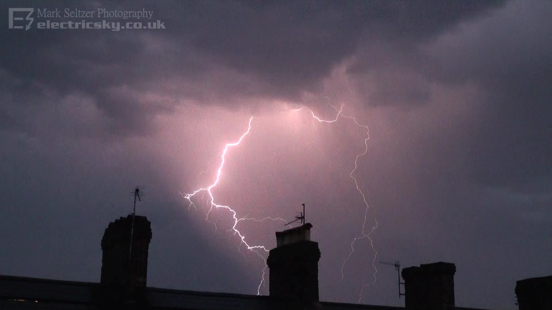
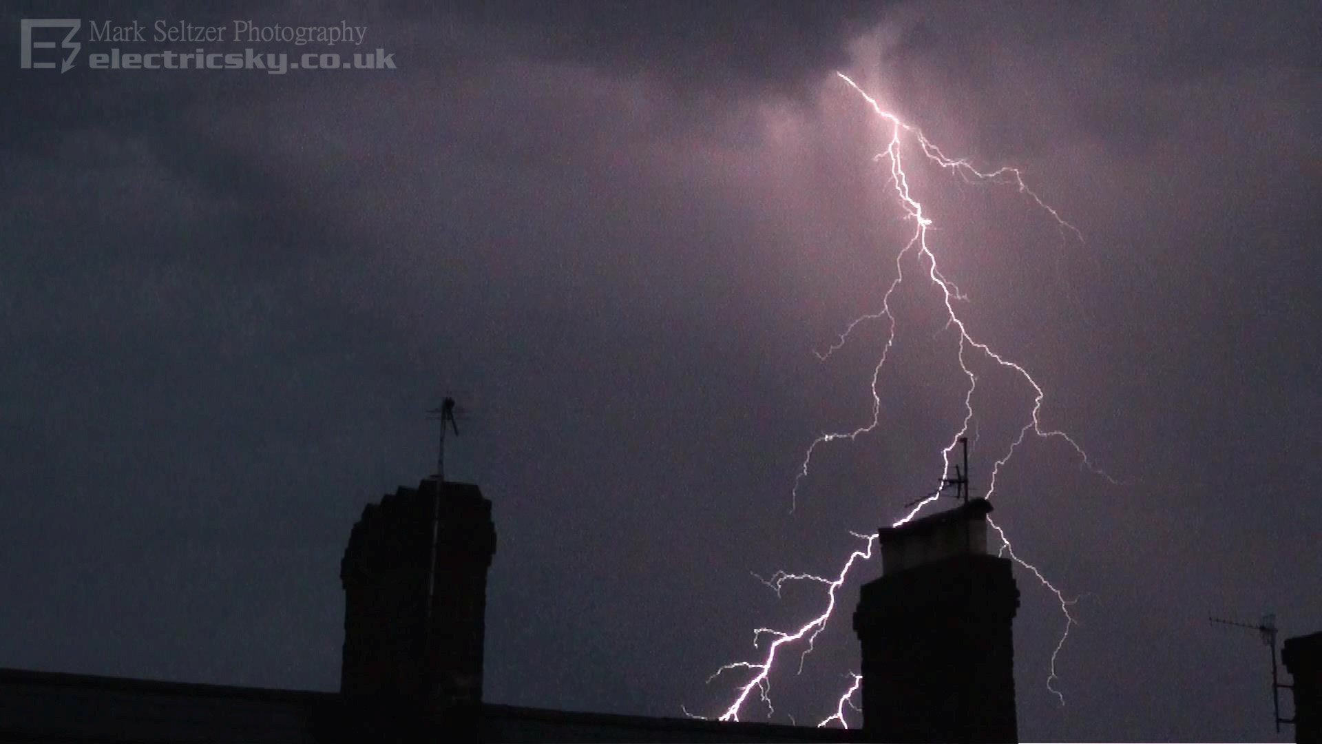
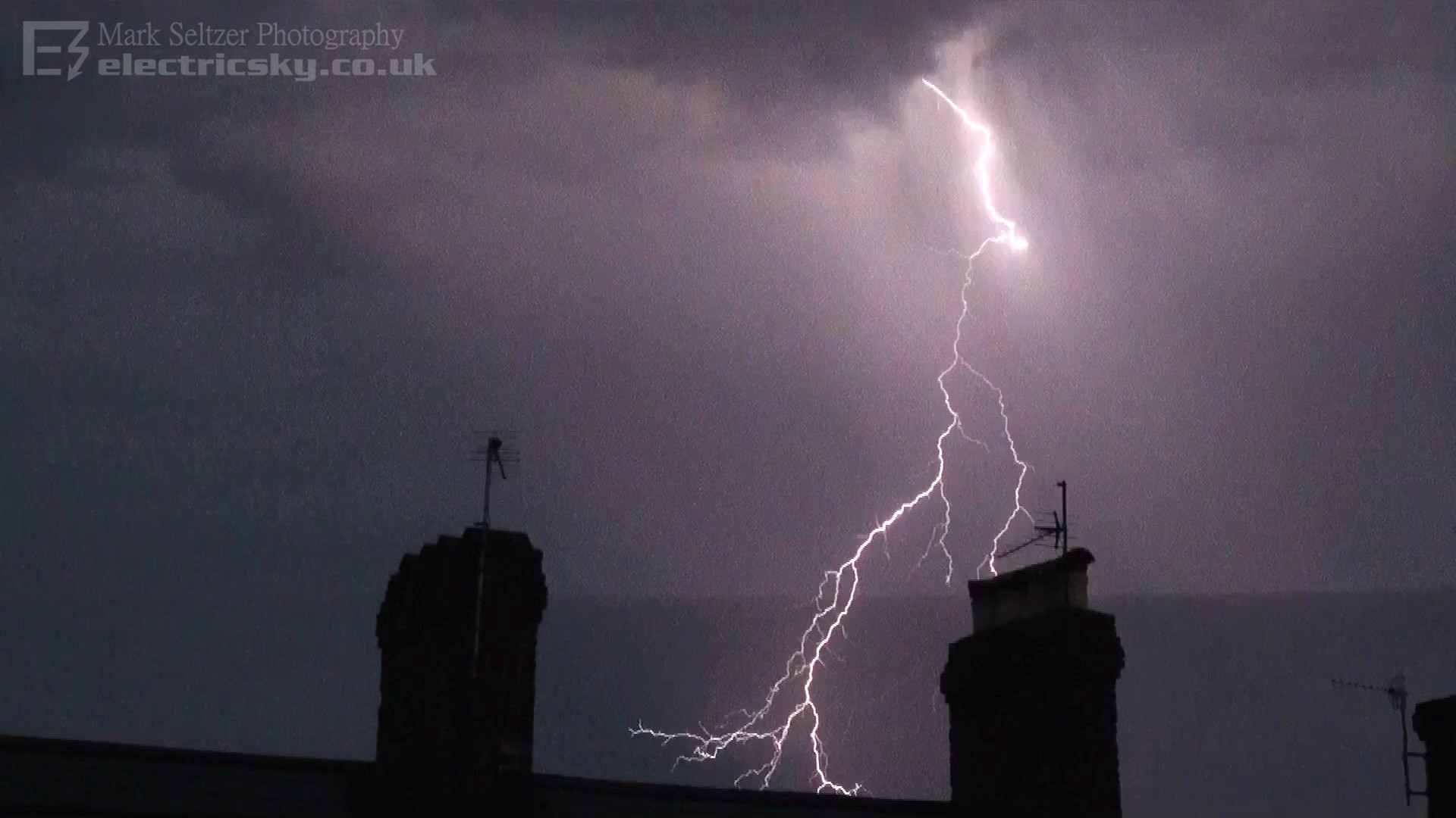
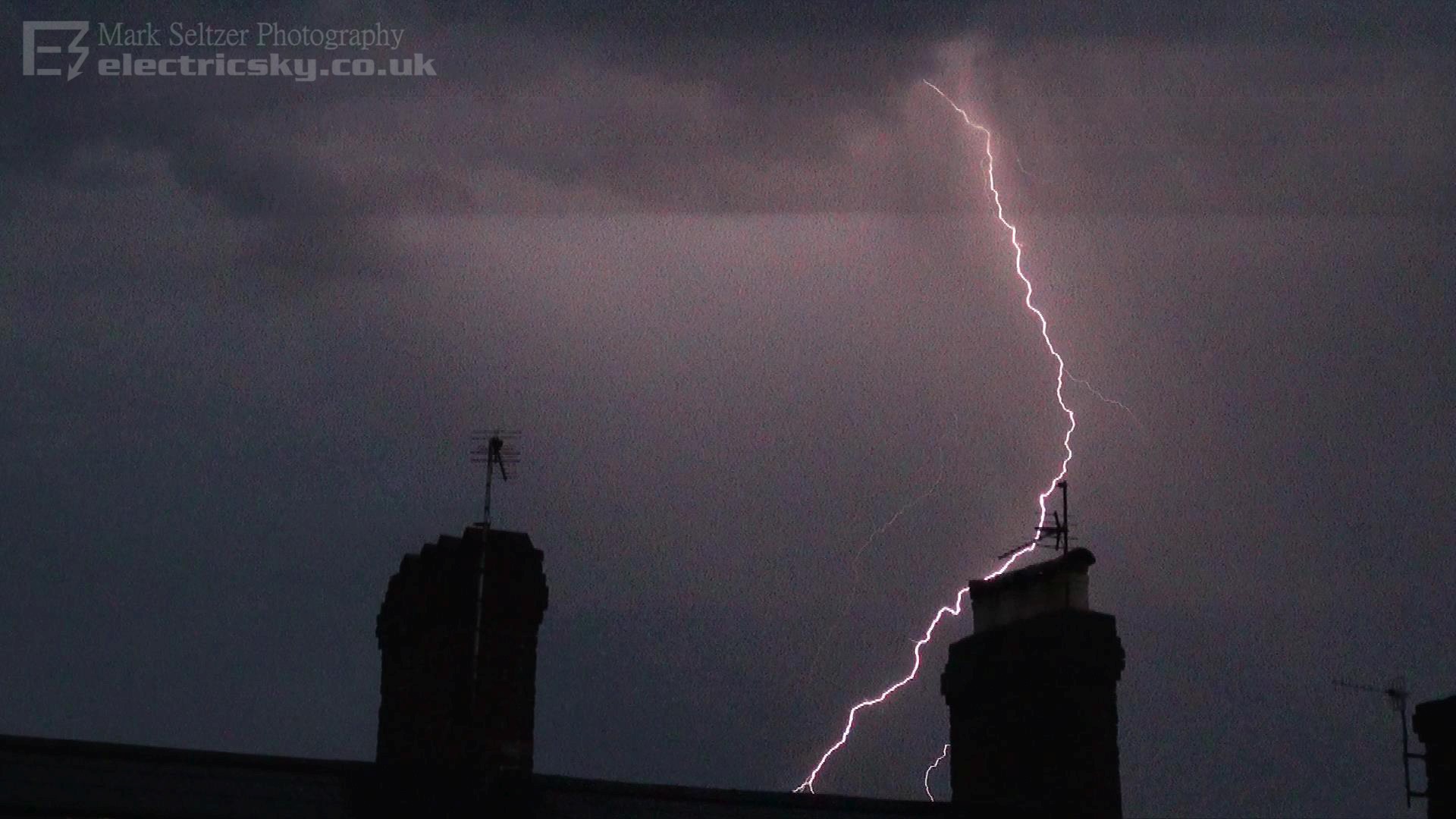
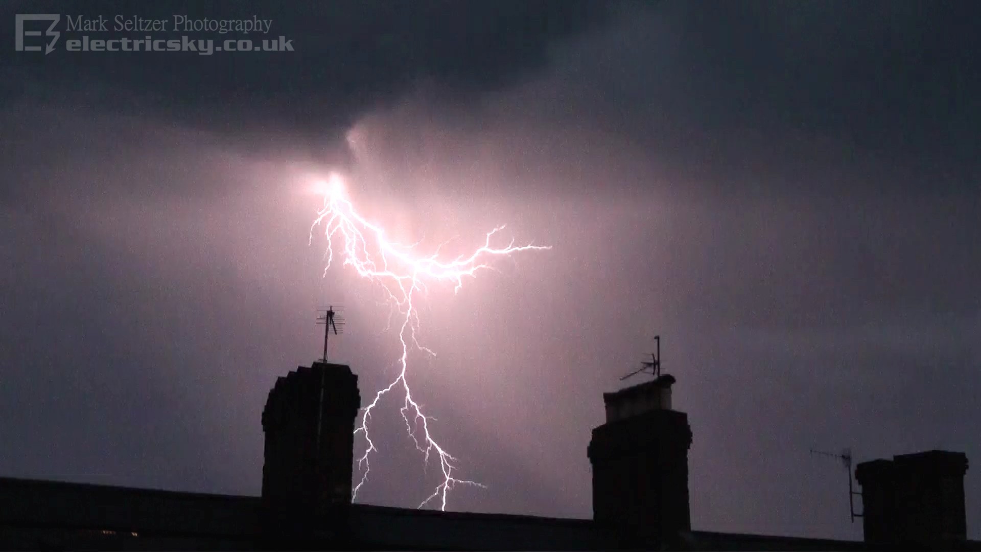
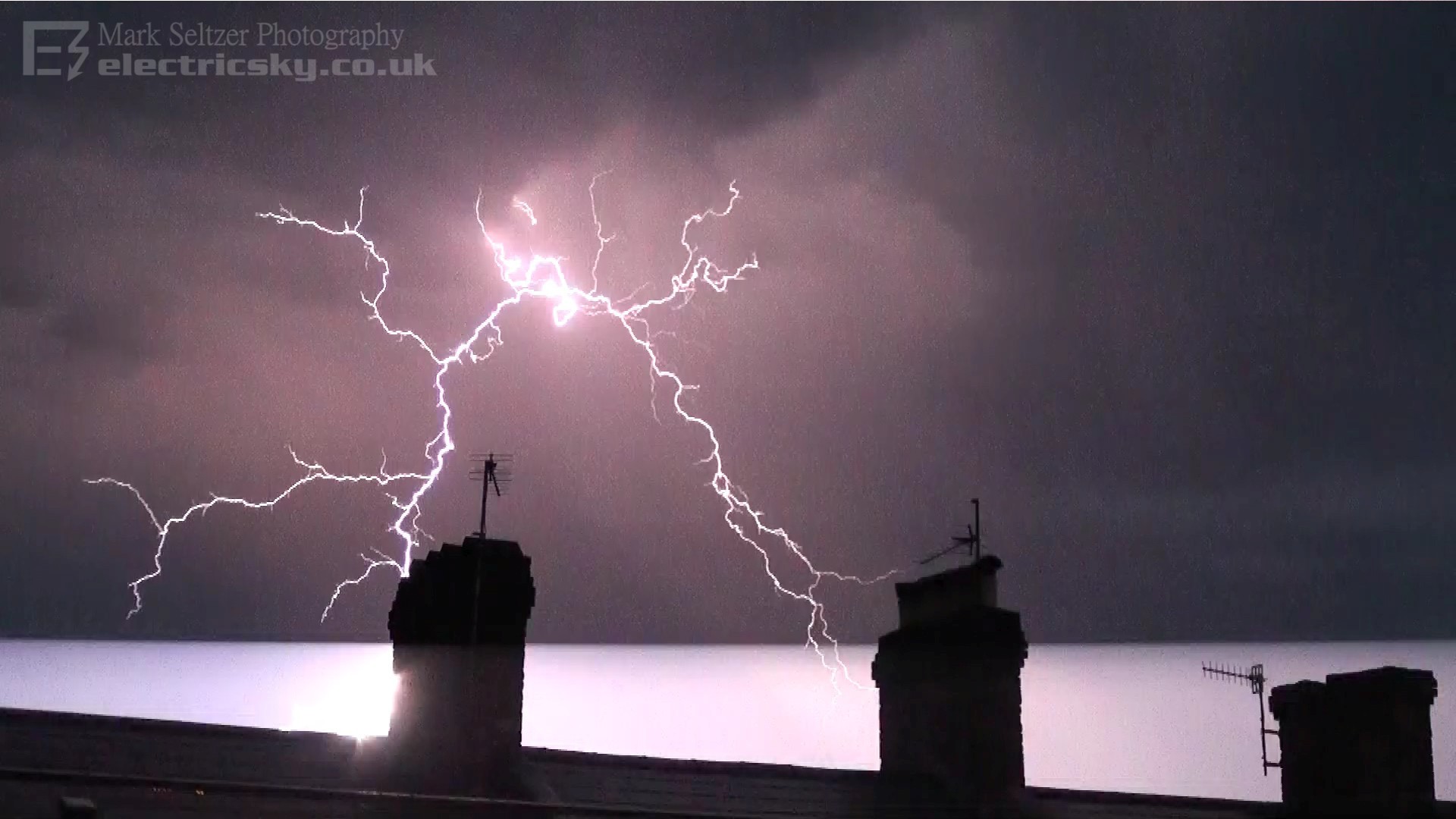
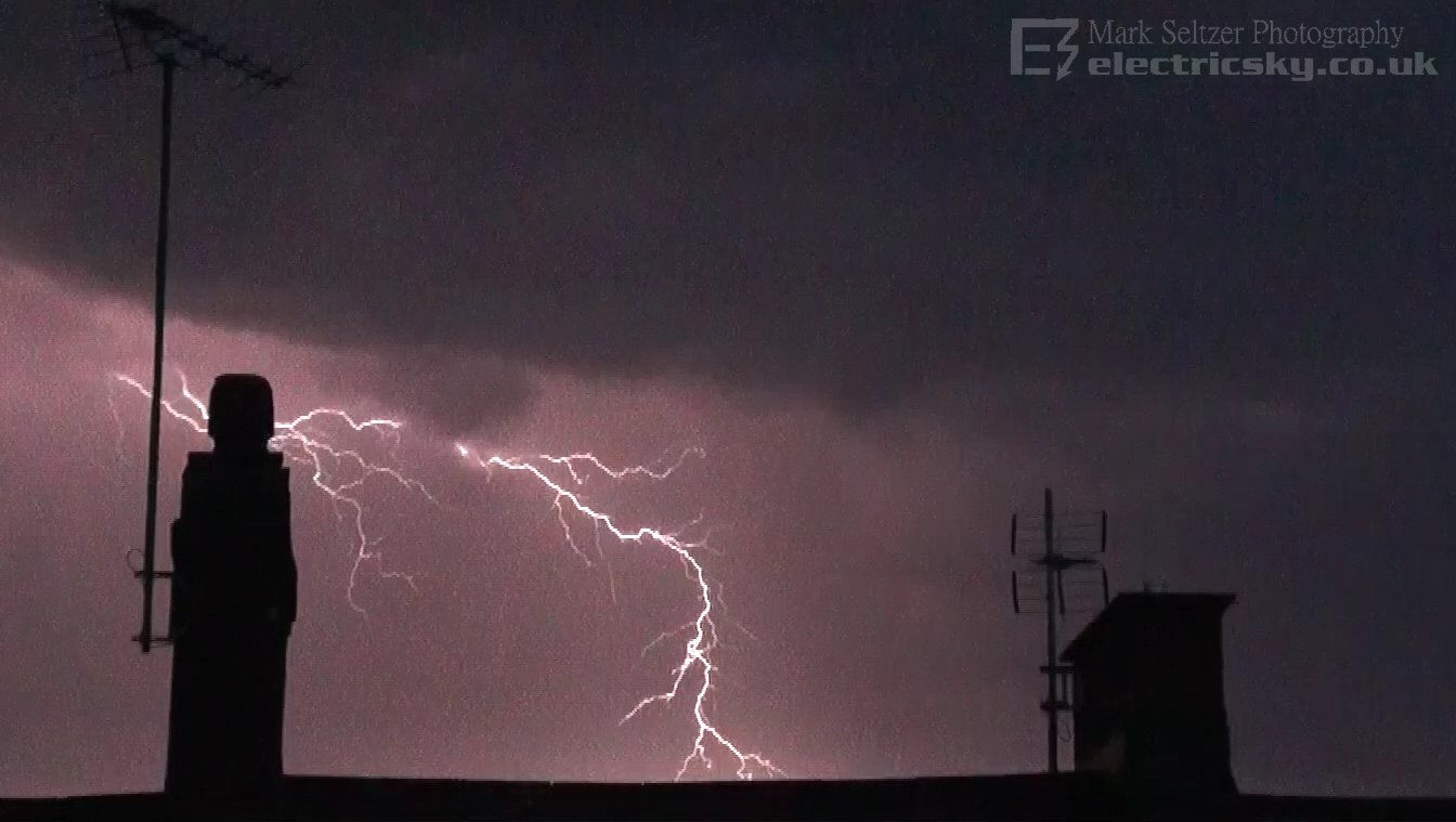
THUNDERSTORM T0092 Marking the start of a more widespread Spanish plume event across southern UK, this rogue isolated and very high level thunderstorm dropped some pretty strong negative CG lightning right over Rockbeare, 7 miles ENE of my location in Exeter. There was a thick sheet of altocumulus it grew out of, and took me by surprise since it only initiated when it was in the vicinity.
The cloud base was over 10000ft with
dry air underneath, so a very spectacular view of lightning. It was surprising
to me how it
favoured dropping CG rather than CC or IC like most other mid-level storms do.
The CAPE perhaps wasn't spectacular judging by the slow discharge rates, so perhaps negative charge was able to build more strongly
instead of getting sheared away by strong updraughts, or
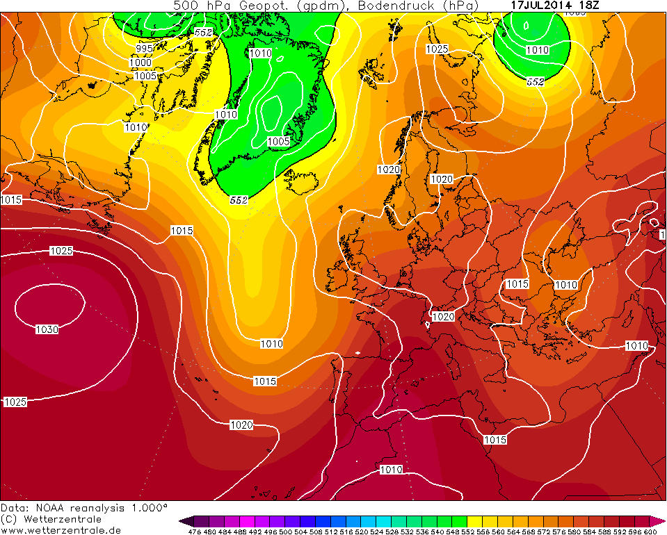
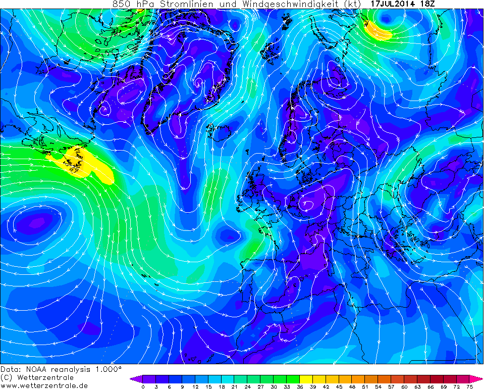
perhaps something to do with the dry air underneath. I didn't get chance to look at a tephigram
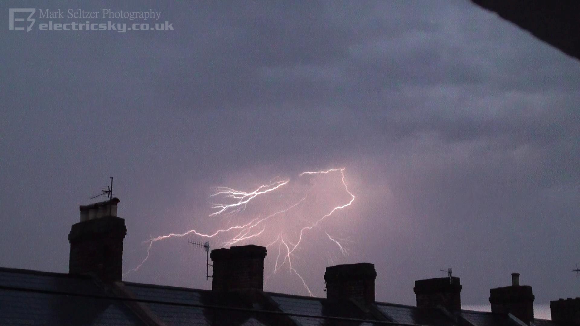
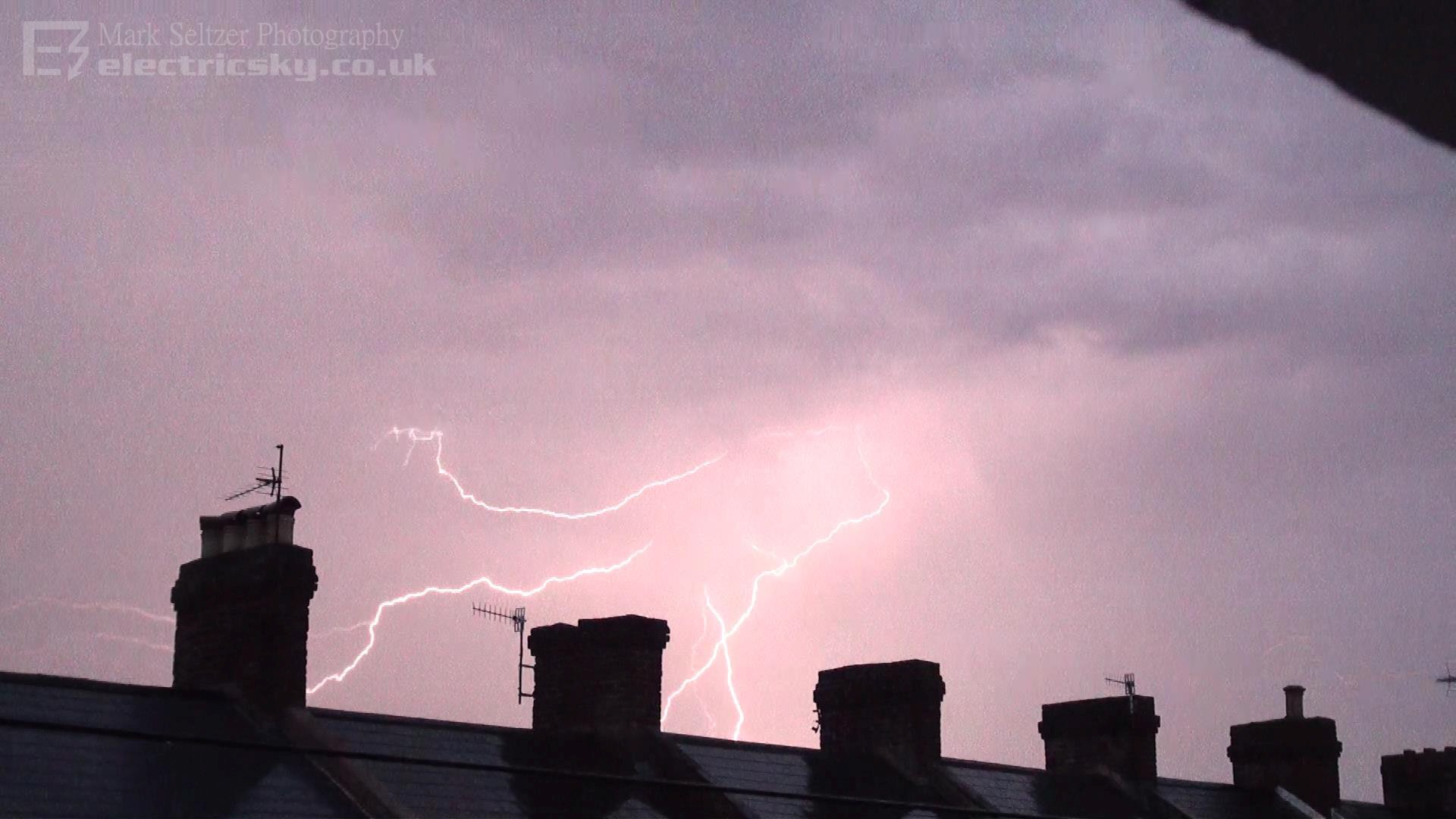
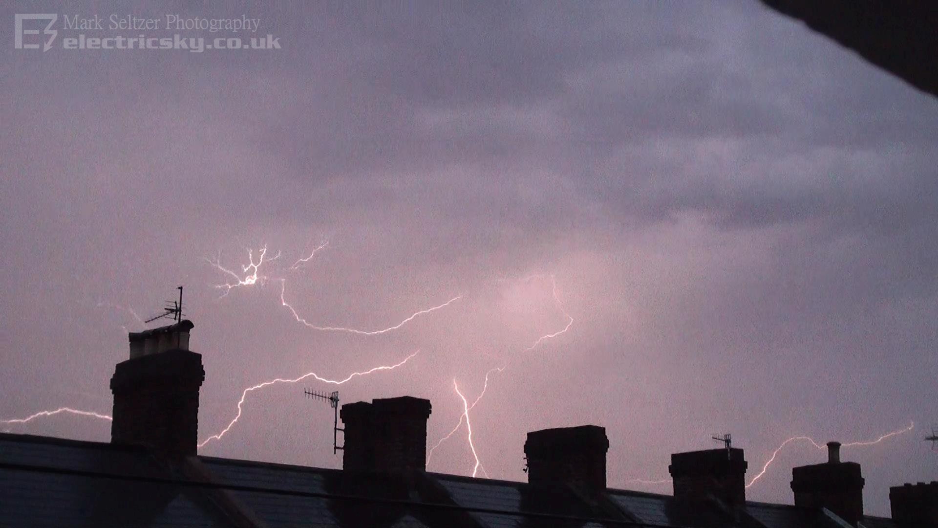
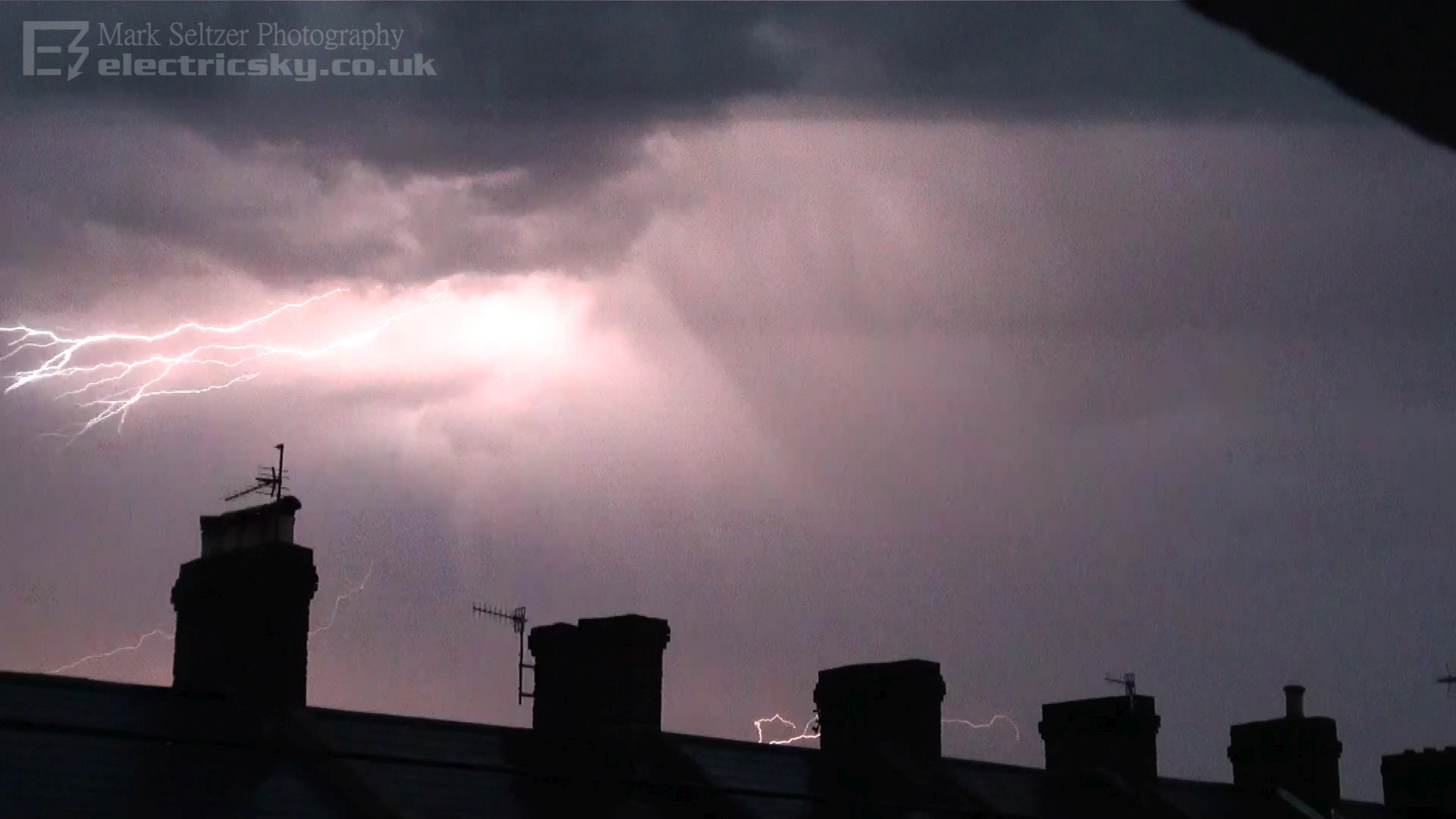
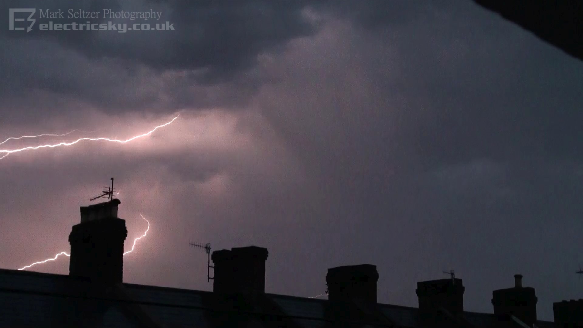
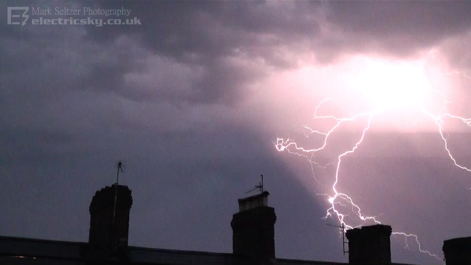
on the day, so not sure what the 500-200hPa altitude profile was like. You could see multiple CGs accompanied with small CC crawlers. I wouldn't class them as Anvil Crawlers since they occurred under the main base, appearing to strike through precipitation curtains, but I guess it's a similar setup to a true anvil crawler. Some time had passed (several minutes) before the next strike happened, which appeared a little closer than the last despite the cell moving away. Another cell was growing just to the right of the field of view, dropping a much closer rain curtain. This was to give rise to a barrage of nothing but CG over Rockbeare.
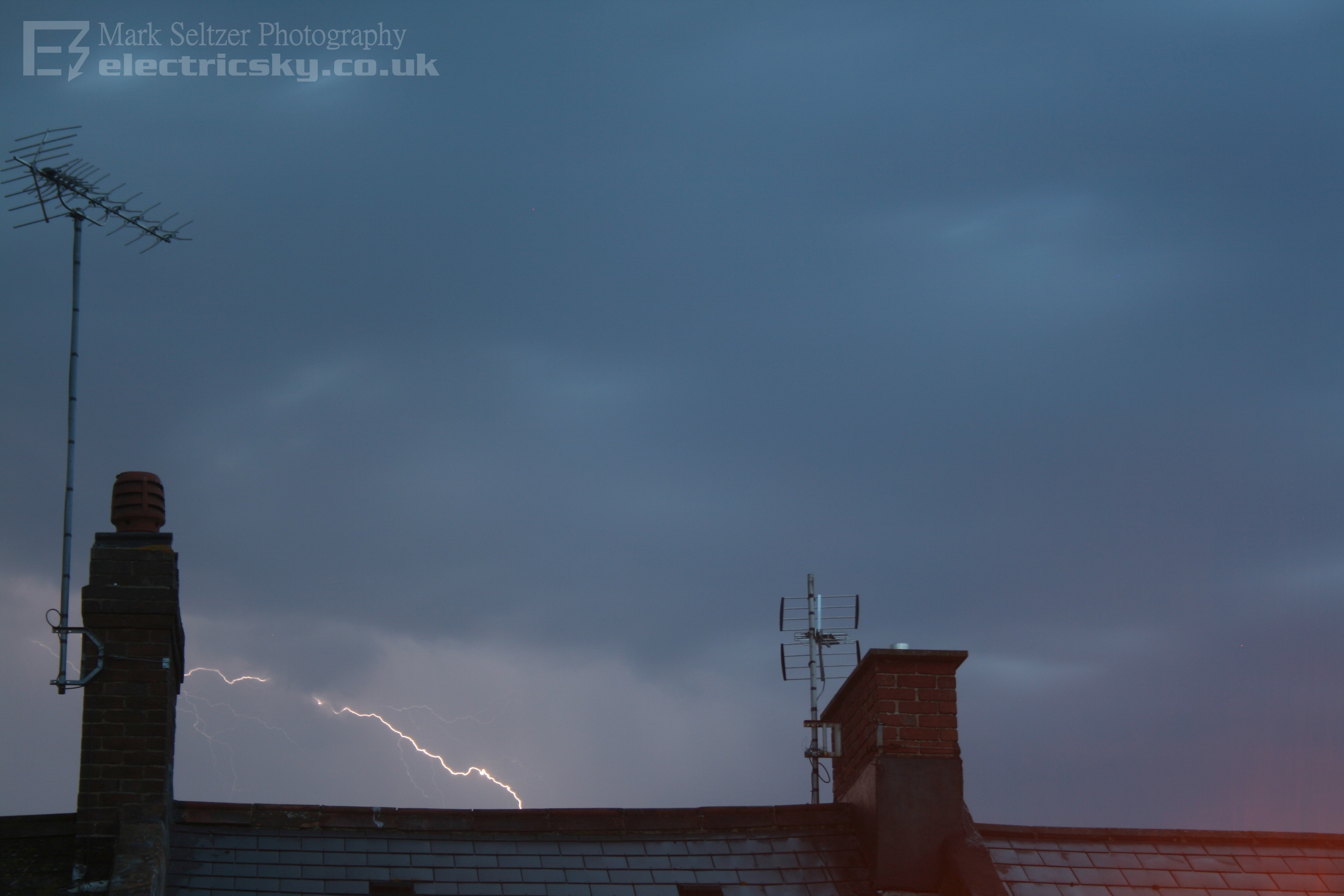
One of the final strikes as it headed into the distance was captured both on video camera and DSLR below, only better on the video camera since it was on a higher tripod. I was considering positioning myself into a better view during the storm, away from my street and the chimney stacks, but I knew by the time I did that I would have missed the action, so persisted with whatever I could get from my room window. Chasing it also wasn't an option since it was being carried rapidly with the upper flow, would have meant speeding was essential.
Rockbeare suffered a power outage as a result of this slow CG barrage.
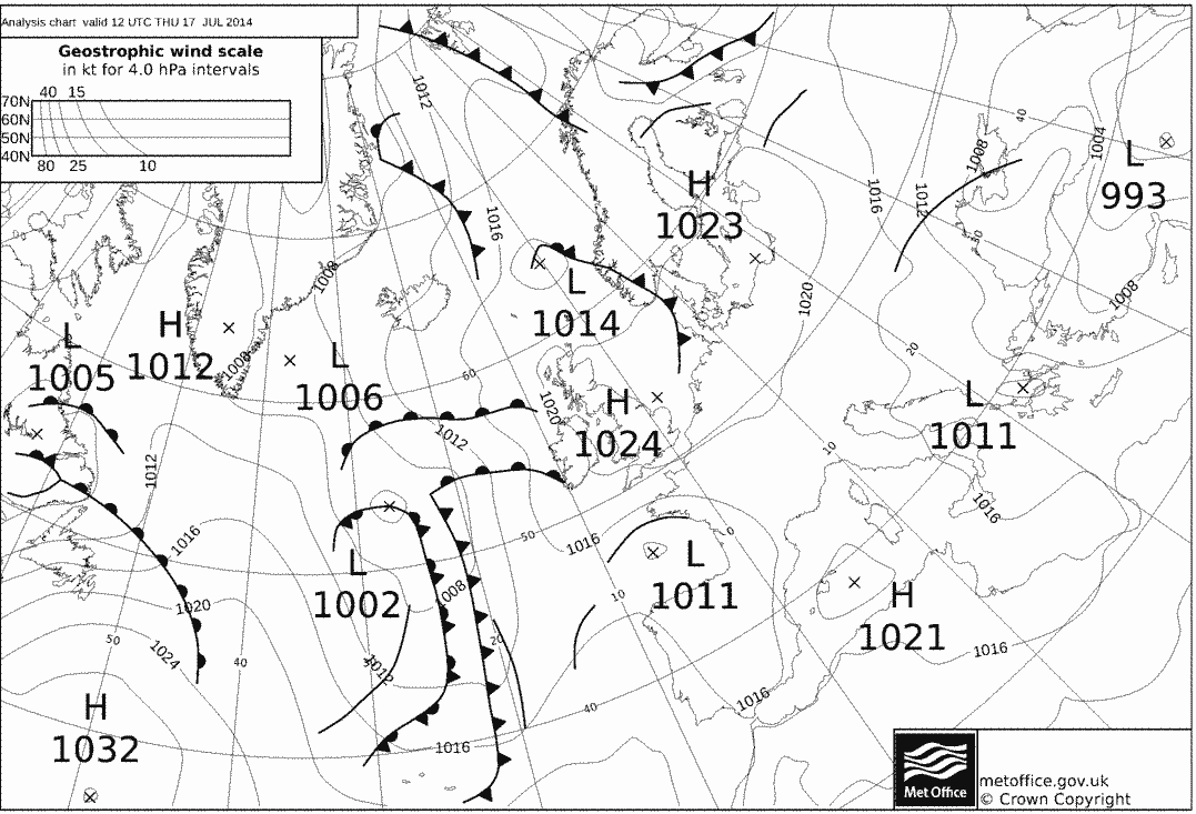
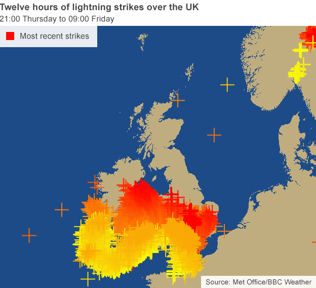
Other thunderstorms were experienced all the way from the Isles
of Scilly to London on this evening and night, forming along the line of the
plume and likely upper trough, and with many being more intense than
this one. Much CG lightning was present in those as documented by public footage
across the country.
|


© Mark Seltzer
www.electricsky.co.uk