
![]()
|
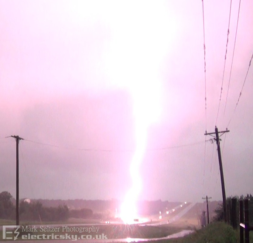
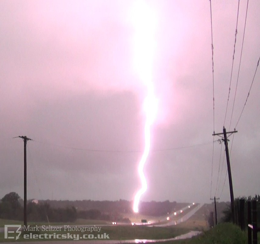
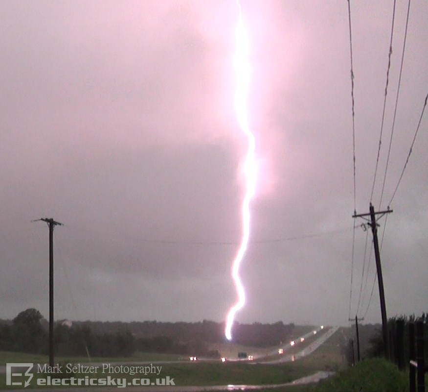
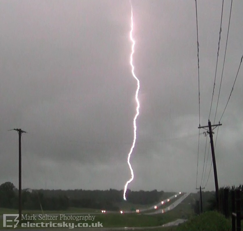
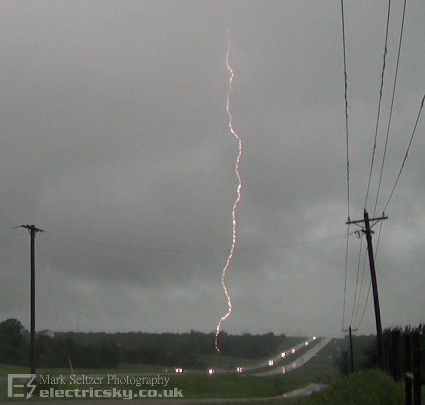
THUNDERSTORM T0101 An embedded supercell obscured by an under-cut of low cloud was dropping a barrage of CG northeast of a weak rotating core (textbook phenomenon). Long duration shotgun thunders suggest mostly positive (anvil) lightning which is commonly seen to the E or NE of supercell cores, but possibly also high-based negative. Hoping for a CG on camera, we got more than we bargained for when a post down the end of the road got struck (on camera). This was to date the closest CG strike I have caught on camera, aside from the ones off-camera in T0036. We felt quite exposed since we were parked under power lines and the big Newcastle water tower, so we legged it! The proceeding hour saw continuous torrential rain and much lightning across Norman with plenty of flooding. We were on-route to a restaurant so didn't get much footage thereafter.
RADAR
(Credits)
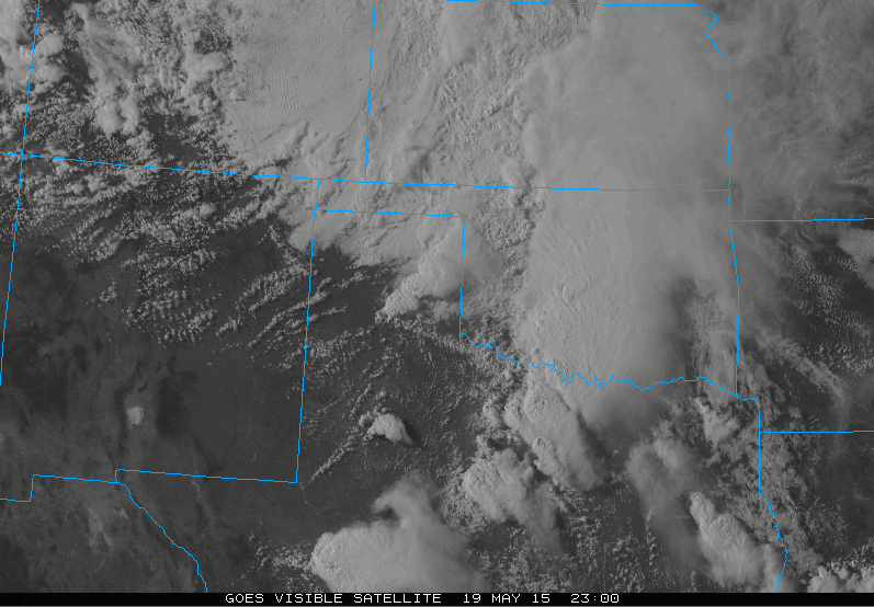
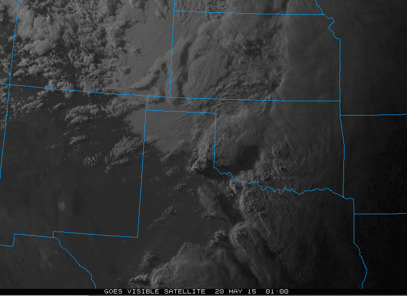
SATELLITE
(Credits)
|
.png)
.png)
© Mark Seltzer
www.electricsky.co.uk